What is recorded here
Half-hidden under grass and rushes, the ringfort in Aghatawny Lower keeps its shape beside a narrow stream, a shallow earthen circle wide enough for houses, herds or memory. People may have lived there before the land was divided into fields, then forgot the doorway and played golf across the middle. The fort does not need a name or date to be strange; it remains a made place, waiting for someone to imagine what it held.
Situated in a low-lying position on the W bank of a N-S stream. It is only marked on the revised 1944 edition of the OS 6-inch map. This is a grass-covered circular area (diam. 27m N-S; 25m E-W; int. diam. 23.27m E-W; 22.2m N-S) defined by an intermittently visible earthen bank (Wth 4.5-5.5m; int. H 0.2-0.4m; ext. H 1m) or scarp and an external band of rushes (Wth 2m). The original entrance is not identified, although it could be at NE (Wth 4.3m) or SE (Wth 3.6m). It is truncated slightly by a N-S field bank at E, and it was at one time used as a golfing green.
The above description is derived from 'The Archaeological Inventory of County Leitrim' compiled by Michael J. Moore (Dublin: Stationery Office, 2003). In certain instances the entries have been revised and updated in the light of recent research.
Date of upload: 23 September 2008
The monument record does not grant public access. Check the route and ask the landowner before entering private land.
- What survives
- Recorded monument
Places near here
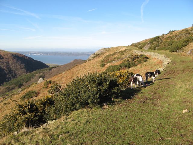 Embanked enclosureFairy fort / earthen ringfort · 1209 yd
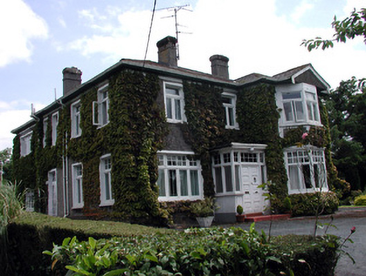 Maryvillehouse · 1729 yd
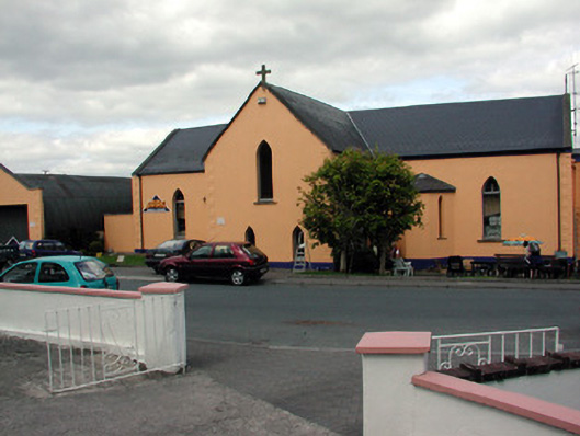 church/chapelchurch/chapel · 1736 yd
 John Joe McGirlMonument · 1.1 mi
 DrumbadMountain / peak · 2.7 mi
 Swan Island pet farmHeritage attraction · 2.8 mi
 DrumgownaghMountain / peak · 3.4 mi
 Bawn in Cherry IslandBawn · 3.4 mi
 Cherry IslandIslet · 3.4 mi
 BatteryBawn · 3.5 mi
 Buck IslandIsland · 3.6 mi
 Cromlin Bridge WoodWood · 3.8 mi