What is recorded here
Fairy forts are human ringforts misnamed by folklore, often reduced to shallow discs or lost entirely under plough and neglect. In Aghamore North the earthwork stood at a field corner, its south edge cut by a bank running east to west. It was still faint enough to mark in 1841 and 1916, but human hands and time have since erased what remained. The fairies never lived there; people did, and forgot how quickly.
This circular enclosure is marked on the 1841-42 OS map. It was situated in the corner of a field and the S sector was cut slightly by a fieldbank running E-W. Only a tiny section of the S sector appears on 1916 edition map, and no visible trace remains today.
The above description is derived from C. Toal, ‘North Kerry Archaeological Survey’. Dingle. Brandon in association with FAS Training and Employment Authority (1995), no. 512. In certain instances the entries have been revised and updated in the light of recent research.
Date of upload: 2 August 2013
This remains an important historical record, but the official description says the monument is no longer visible or has been destroyed. The monument record does not grant public access. Check the route and ask the landowner before entering private land.
- What survives
- No visible remains or recorded as destroyed
Places near here
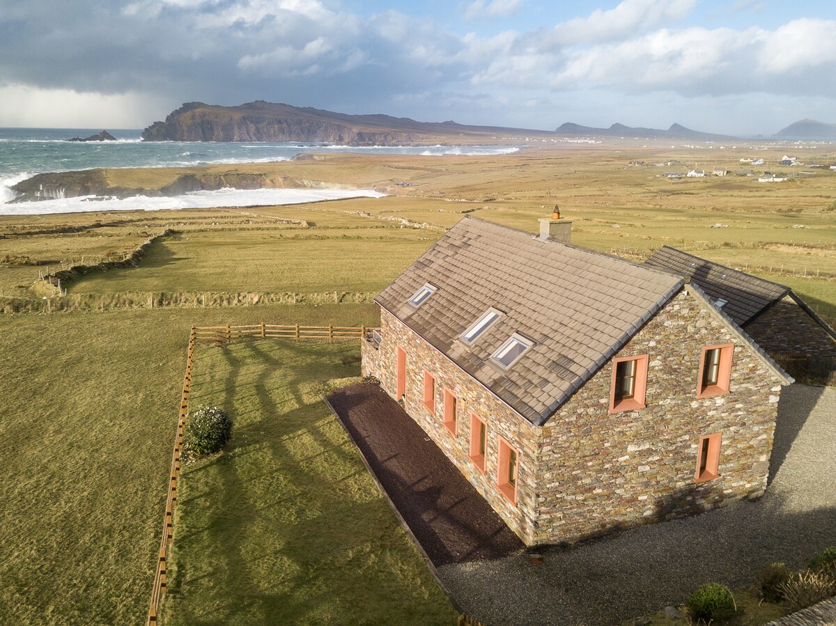 Enclosure in Clooneen,dromkeen EastEnclosure · 1217 yd
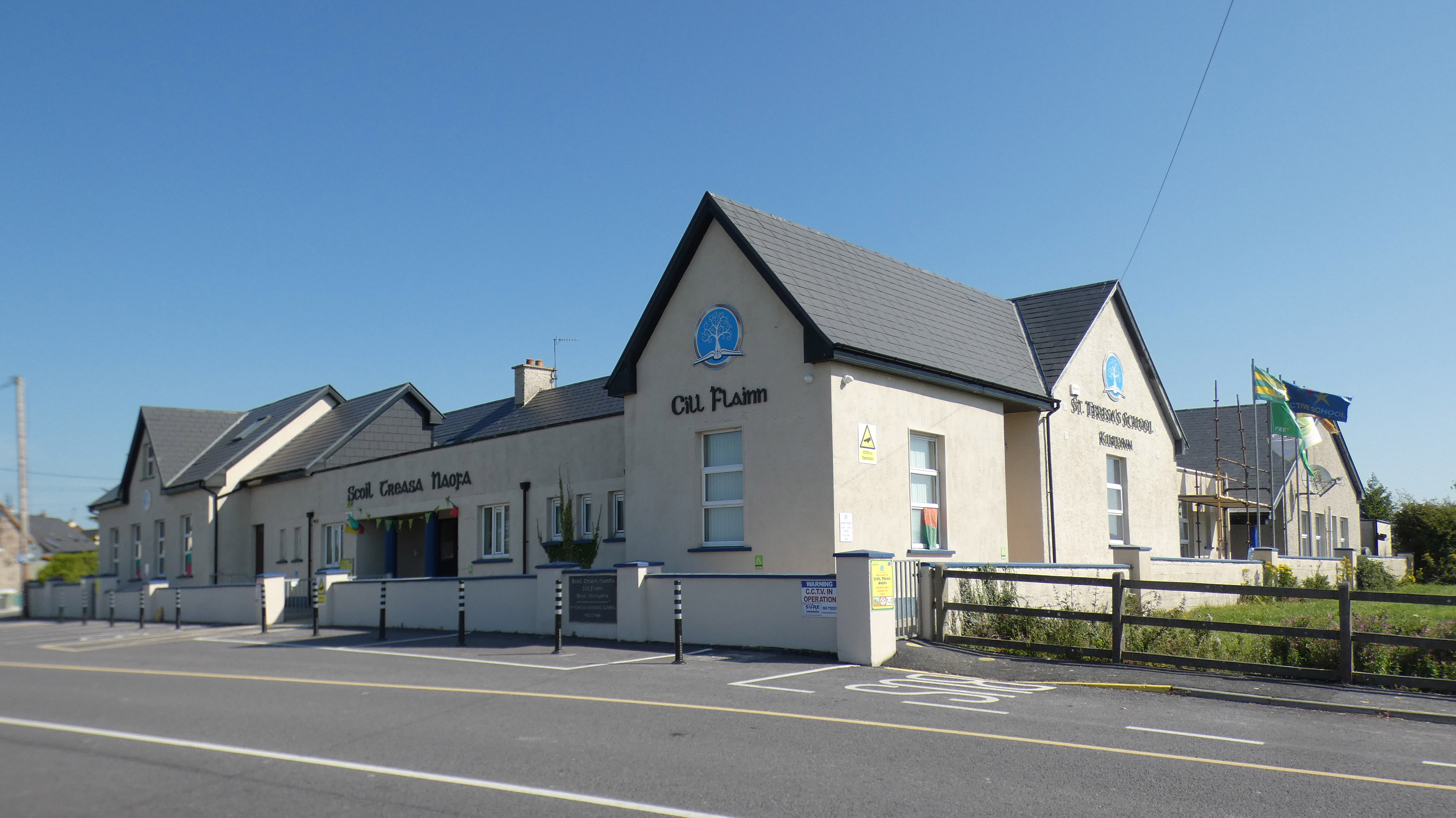 Fulacht fia in Kilcooly NorthFulacht fia · 1.1 mi
 Church in Kilcooly NorthChurch · 1.5 mi
 Ballymacaquinn Castle (remains of)Castle · 1.7 mi
 Bushmount Housecountry house · 2.1 mi
 Castle (in ruins)Castle, unclassified · 2.6 mi
 Pierce's IslandIslet · 4.4 mi
 Inshaboy PointHeadland · 4.8 mi
 Our Lady's Holy WellSpring · 4.9 mi
 Kilflynn Nature ReserveNature reserve · 5.0 mi
 Clashmealcon CavesCave · 5.2 mi
 Tobar na MoltSpring · 5.4 mi