What is recorded here
Aghamore held a thirty-metre earthen ring on a low rise, marked as a fort on the 1837 map and still traceable in 1975 before pasture and time erased it from sight by 1998. The land keeps its own ledgers, writing in soil and deleting without warning. What the field swallowed, the memory should refuse to lose.
On a low rise in undulating pasture. Depicted as a circular enclosure with the designation ‘Fort’ on the 1837 edition of the OS 6-inch map. A report in 1975 (SMR file) recorded that, although levelled, the outline of a bank with an external fosse could be traced enclosing a roughly circular area (diam. c. 30m). On re-inspection in 1998 the rath was not visible at ground level.
Compiled by: Patrick F. O'Donovan
Date of upload: 23 November 2011
The monument record does not grant public access. Check the route and ask the landowner before entering private land.
- What survives
- Recorded monument
Places near here
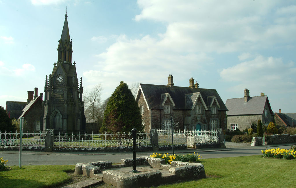 IndicatedFairy fort / earthen ringfort · 843 yd
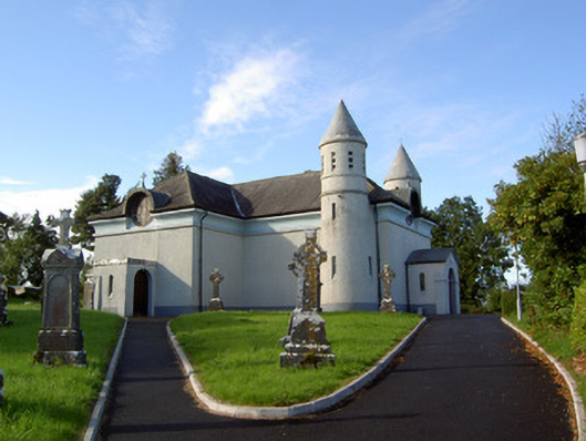 Saint James's Catholic Churchchurch/chapel · 1240 yd
 Frys IslandCrannog · 1603 yd
 Religious houseReligious house, unclassified · 1755 yd
 Ballinalee Forest WalkForest · 1.5 mi
 Clonfin Ambush MemorialMemorial · 1.6 mi
 Cloonfin WoodForest · 1.7 mi
 Bully's Acregraveyard/cemetery, unknown · 1.8 mi
 Bawn in CurrycahillBawn · 2.0 mi
 Moat & FortCastle, motte and bailey · 2.3 mi
 Edgeworthstown BypassMemorial · 4.6 mi
 InchmoreIslet · 5.0 mi