What is recorded here
A 46-metre earthen ring in Aghaknock, County Cavan, still holds its shape beside a waterlogged ditch and an eastern entrance gap. Bruse Hill looms to the southwest, watching the shallow basin where people may have lived, hidden or simply played under the excuse of fairy forts. The earth remains firm enough to walk, yet the soaked ground warns that the place still breathes and changes.
Raised circular area (int. diam. 46m NNE-SSW) enclosed by a substantial earthen bank and fosse. At ESE fosse has become extremely waterlogged. Break in bank at E probably represents original entrance. Overlooked by Bruse Hill to SW.
The above description is derived from the published 'Archaeological Inventory of County Cavan' (Dublin: Stationery Office, 1995). In certain instances the entries have been revised and updated in the light of recent research.
Date of upload/revision: 22 December 2008
A fairy fort or earthen ringfort in Aghaknock, likely an early-medieval agricultural or defensive site, is characterized by a raised circular area with a substantial bank and fosse. Local folklore may associate it with supernatural beings, as suggested by its "fairy fort" name, though specific traditions are not recorded.
The monument record does not grant public access. Check the route and ask the landowner before entering private land.
- What survives
- Recorded monument
Places near here
 CloghmoreArchaeological place · 887 yd
 Bruse HillMountain / peak · 1025 yd
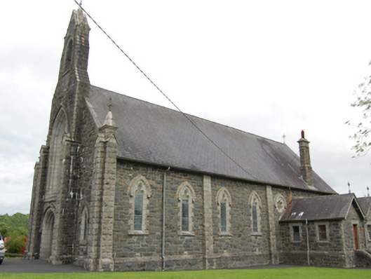 Church of the Immaculate Conceptionchurch/chapel · 1188 yd
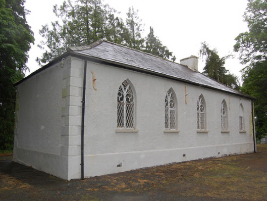 Drumcoghill Church Hallschool · 1601 yd
 Cornafean GFCMemorial · 1.1 mi
 IndicatedFairy fort / earthen ringfort · 1.3 mi
 Bawn in CastlepolesBawn · 1.6 mi
 CastlepolesMountain / peak · 1.8 mi
 Corraneary WoodWood · 1.9 mi
 Red IslandIslet · 2.0 mi
 White Lough ForestForest · 2.1 mi
 Lismore CastleCastle, unclassified · 2.8 mi