What is recorded here
A circular earthen ringfort stood on the south-west slope of an Aghakine hillock, marked as a fort on the 1837 map. By 1976 no visible trace remained, erasing the boundary between human defence and fairy legend. The earth may have swallowed what people built, leaving only a hollow where certainty used to stand.
On the SSW-facing slope of a hillock. Depicted as a circular enclosure with the designation 'Fort' on the 1837 ed. of the OS 6-inch map. On inspection in 1976 (SMR file) no visible surface trace survived.
Compiled by: Patrick F. O'Donovan
Date of upload: 14 November 2012
The monument record does not grant public access. Check the route and ask the landowner before entering private land.
- What survives
- Recorded monument
Places near here
 Portal tomb in AghnacliffPortal tomb · 1447 yd
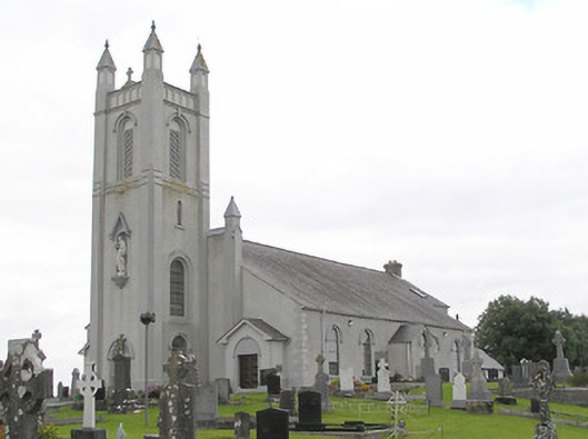 Saint Colmcille's Catholic Churchchurch/chapel · 1573 yd
 Sonnagh fortArchaeological place · 1574 yd
 Abbey (in Rns)Religious house, Augustinian canons · 1.3 mi
 InchmoreIslet · 1.4 mi
 Mulrick WoodlandForest · 1.7 mi
 Derrycassan WoodsWood · 1.9 mi
 Arnaghan SouthMountain / peak · 2.0 mi
 Cloone Ho.Castle, unclassified · 2.6 mi
 Arnaghan NorthMountain / peak · 2.7 mi
 Scrabby IslandIslet · 2.9 mi
 BawnBawn · 3.7 mi