What is recorded here
Fairy fort in Aghafore, County Cork: a circular earthen ringfort on a steep north-facing pasture slope, marked on both OS maps of 1842 and 1902, levelled around 1982 with no surface trace left. Local tradition holds that a man-made underground passage still runs beneath the pasture, carrying the fort into darkness instead of letting it disappear. Perhaps people stopped seeing the ridge because they stopped walking it, not because the earth forgot the shape.
In pasture on steep N-facing slope. Marked as circular enclosure on both editions of OS 6-inch map (1842, 1902). Levelled c. 1982; no surface trace. Tradition of Man-made underground passage in enclosure (CO136-103---).
The above description is derived from the published 'Archaeological Inventory of County Cork. Volume 1: West Cork' (Dublin: Stationery Office, 1992). In certain instances the entries have been revised and updated in the light of recent research.
Date of upload/revision: 14 January 2009
The monument record does not grant public access. Check the route and ask the landowner before entering private land.
- What survives
- Recorded monument
Places near here
 Killeen Burial Gd. (Children) (Disused)Burial ground · 1326 yd
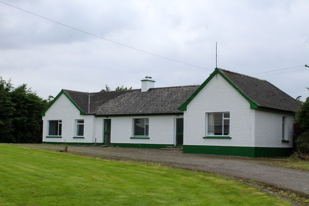 IndicatedQuarry · 1537 yd
 LismahonFairy fort / earthen ringfort · 1704 yd
 Castle (Site of)Castle, unclassified · 1.1 mi
 Aghmanister Abbey (in Ruins)Religious house, Cistercian monks · 1.3 mi
 Castle (in Ruins)Castle, unclassified · 1.4 mi
 Views Simon's CoveViewpoint · 1.7 mi
 Flat Rocks Simon's CoveViewpoint · 1.9 mi
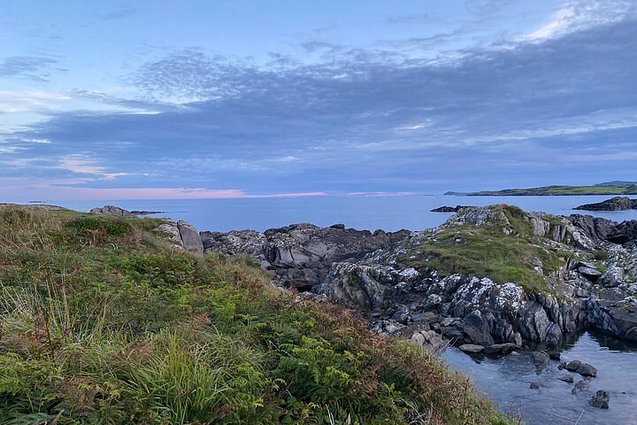 Interesting Cliffs RingCliff · 2.1 mi
 Michael Collins CentreMuseum · 2.2 mi
 Rail SignalHeritage attraction · 2.4 mi
 Stoney Beach RingBeach / strand · 2.5 mi