What is recorded here
Fairy forts are human ringforts misnamed by later folklore. In Aghadegnan, County Longford, a wide low bank still marks a circular dwelling place beside pasture. Much of its outer edge has been taken for drainage or levelled, yet the original shape can still be recognised. The fairies belong to the legend, not the archaeology.
On a gentle NNW-facing slope in pasture. A raised circular area (diam. 35.8m) enclosed by a wide, low bank of earth and stone (Wth 5.2m; H 1.1m) with a shallow external fosse (Wth 4.3m; D 0.2m). From NNW-N-NE the outer face of the bank has been removed and the fosse has been incorporated into a modern WNW-ESE field drain. From NE-E-SSE the bank and fosse have been levelled but their outlines are still identifiable. The original entrance is not recognisable. Close to the centre of the interior are the remains of a possible house site (LF013-012002-).
Compiled by: Patrick F. O'Donovan
Date of upload: 26 August 2011
This remains an important historical record, but the official description says the monument is no longer visible or has been destroyed. The monument record does not grant public access. Check the route and ask the landowner before entering private land.
- What survives
- No visible remains or recorded as destroyed
Places near here
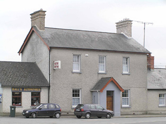 garda station/constabulary barracksgarda station/constabulary barracks · 634 yd
 Fulacht fia in AghadegnanFulacht fia · 665 yd
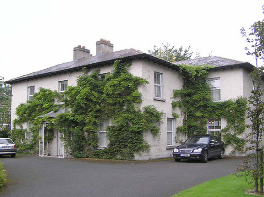 Sonasmanse · 669 yd
 Enclosure in DemesneEnclosure · 954 yd
 Bawn in AbbeycartronBawn · 1373 yd
 Saint Mel's CathedralCathedral · 1.1 mi
 First World War MemorialMemorial · 1.1 mi
 Pedunculate OakPedunculate Oak · 2.4 mi
 Common LimeCommon Lime · 2.4 mi
 Graveyard in Curry (ardagh By., Coolamber Ed)Graveyard · 3.7 mi
 CastleCastle, Anglo-Norman masonry castle · 4.0 mi
 Commons North WalkVisitor information · 9.1 mi