What is recorded here
Half a kilometre west of Aghadark, a grassy ring still marks the top of a narrow ridge. The earthwork is shallow now, but its circular shape survived both cartography and centuries of foot traffic. Local tradition calls it a fairy fort, which suggests people once treated the place as occupied rather than empty. Whether human or mythical, the ridge kept its boundary long after the hands that shaped it disappeared.
Located on top of a S-N drumlin ridge or spur. It is depicted as a circular or subtriangular embanked enclosure (ext. dims c. 40m E-W; c. 30m N-S) on the 1835 edition of the OS 6-inch map and it is visible as a circular feature on aerial photographs (OSAP: 4/1008-9). This is a grass-covered subcircular area (dims 36m E-W; 31m N-S) defined by slight traces of an earthen bank (Wth 5m; H 0.3m) N-NE, reduced to a scarp (max. H 0.8m) NE-SW, and slight traces of a fosse (Wth 8m; max. D 0.5m) SW-NW.
The above description is derived from 'The Archaeological Inventory of County Leitrim' compiled by Michael J. Moore (Dublin: Stationery Office, 2003). In certain instances the entries have been revised and updated in the light of recent research.
Date of upload: 23 September 2008
The monument record does not grant public access. Check the route and ask the landowner before entering private land.
- What survives
- Recorded monument
Places near here
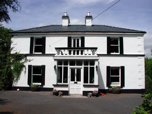 Curranmount Househouse · 497 yd
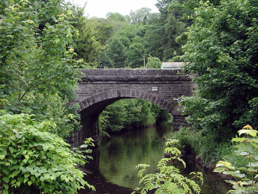 bridgebridge · 904 yd
 John Joe McGirlMonument · 935 yd
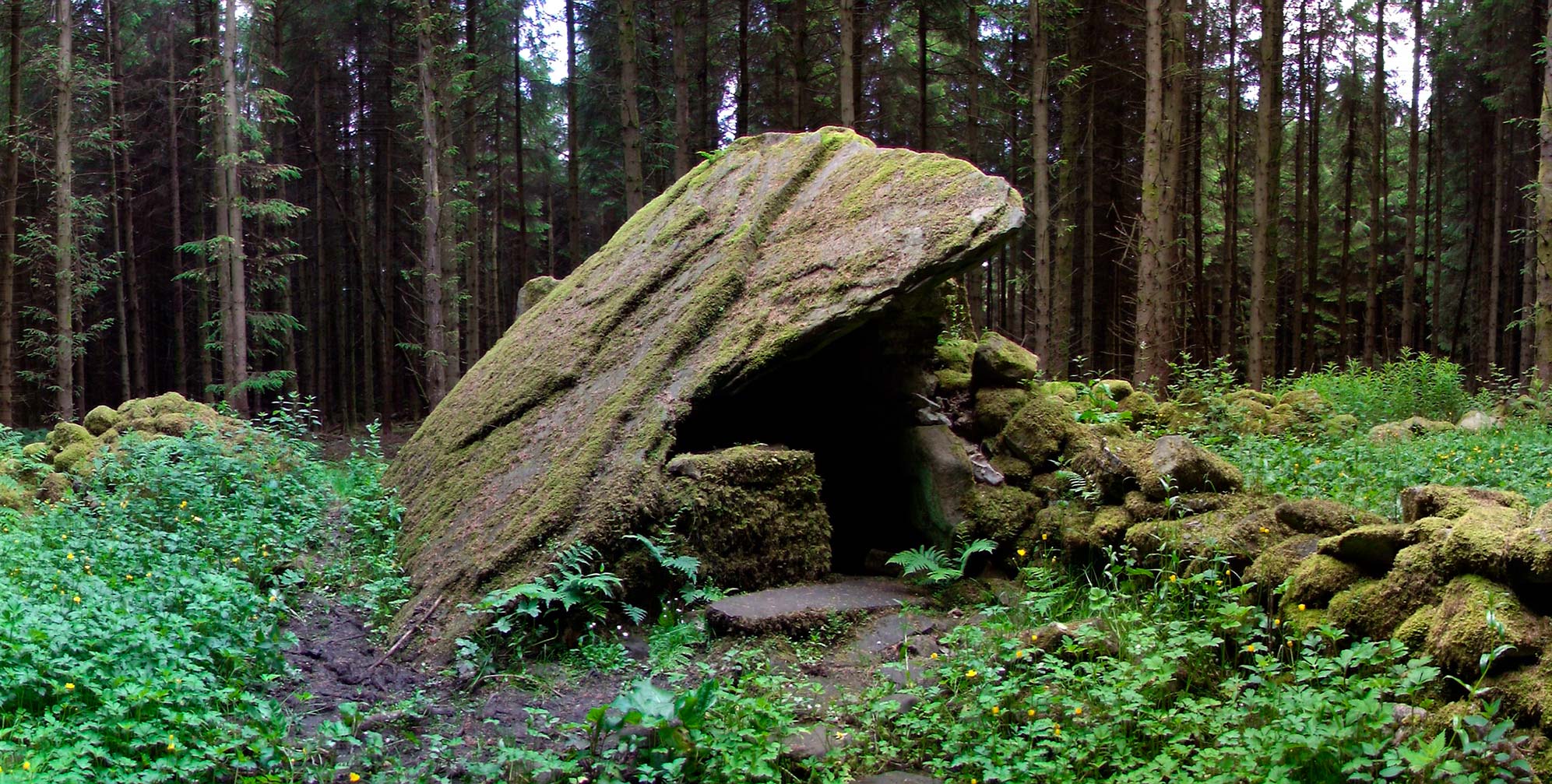 Druid's AltarArchaeological place · 1.2 mi
 DrumbadMountain / peak · 1.8 mi
 Turf IslandIsland · 2.2 mi
 Buck IslandIsland · 2.2 mi
 Cromlin Bridge WoodWood · 2.7 mi
 CastleCastle, tower house · 3.2 mi
 DrumgownaghMountain / peak · 3.2 mi
 European ashEuropean ash · 3.4 mi
 CastleforeCastle, tower house · 3.9 mi