What is recorded here
Aghacreevy is a lost earthen ringfort on a Cavan drumlin, marked as a fort on nineteenth-century maps but erased from modern sight. It may have stood as a boundary, a shelter or a small home, yet the land has taken it back. What remains is a place where memory and soil have swallowed the shape of human life.
Marked 'Fort' on OS 1836 and 1876 eds. Situated on the W shoulder of a drumlin ridge. Formerly enclosed by a low earthen bank and a shallow fosse. From SE-S-W the perimeter has been modified and incorporated into the field boundary. Otherwise nothing visible at ground level.
The above description is derived from the published 'Archaeological Inventory of County Cavan' (Dublin: Stationery Office, 1995). In certain instances the entries have been revised and updated in the light of recent research.
Date of upload/revision: 22 December 2008
A fairy fort or earthen ringfort in Aghacreevy, likely dating to the early medieval period, is situated on the western shoulder of a drumlin ridge. Marked as a 'Fort' on the 1836 and 1876 Ordnance Survey maps, it was originally enclosed by a low bank and fosse, with parts later modified into the field system. Local tradition associates such sites with fairy lore, reflecting their mystical status in Irish folklore.
The monument record does not grant public access. Check the route and ask the landowner before entering private land.
- What survives
- Recorded monument
Places near here
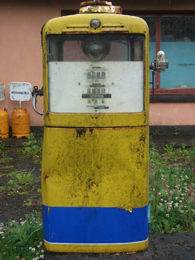 filling pump/stationfilling pump/station · 870 yd
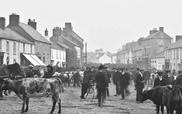 IndicatedFairy fort / earthen ringfort · 1025 yd
 Kilnahard Housecountry house · 1138 yd
 CastleCastle, motte · 1540 yd
 CrossCross, Wayside cross · 1.1 mi
 Aghakilmore LowerMountain / peak · 1.2 mi
 Crane IslandIslet · 1.3 mi
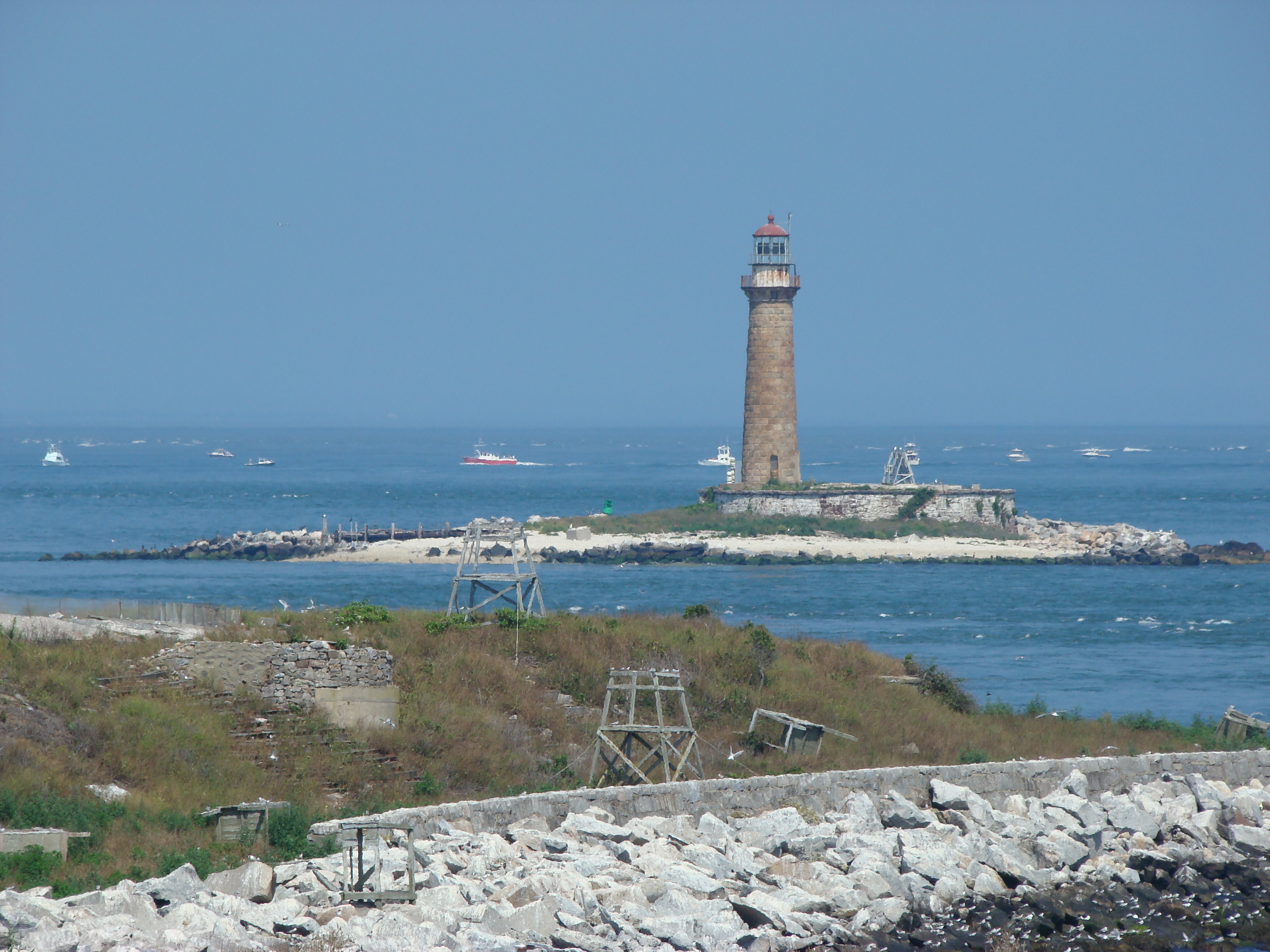 Gull IslandIslet · 1.4 mi
 Deer ParkWood · 1.8 mi
 Moynagh Upper ForestForest · 2.3 mi
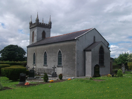 St Paul's Church of Ireland Churchchurch/chapel · 1215 yd
 St. Pauls Ch.Church · 1238 yd