What is recorded here
A tall earthen ring in Aghacordrinan still stands on a sunny slope, marked by deep ditches and a broad outer bank. It is not a temporary fantasy but an old human fort, shaped by hands and changed by time. The fairies belong to the local story, not the evidence.
On a SSE-facing slope in pasture. An oval-shaped mound of earth and stone (34.2m E–W; 28.1m N–S) is delimited by a relatively steep scarp (H 0.4-1.5m) from NW–N–ESE, elsewhere it is less well defined, a wide, shallow fosse (Wth 4.7m; D 0.6m), a very wide, high, bank (Wth 8.5m; H 2.3m), a second narrow, shallow fosse (Wth 1.8m; D 0.3m) and a wide, low outer bank (Wth 4.2m; H 0.6m). The outer bank has been modified and incorporated into a field boundary from SE–S–WNW. The original entrance is not recognisable. The perimeter is very overgrown with scrub rendering satisfactory inspection impossible.
Compiled by: Patrick F. O'Donovan
Date of upload: 14 November 2012
The monument record does not grant public access. Check the route and ask the landowner before entering private land.
- What survives
- Recorded monument
Places near here
 Sonnagh fortArchaeological place · 986 yd
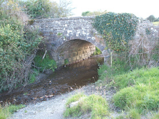 bridgebridge · 1.0 mi
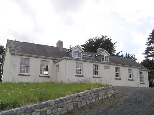 Scoil Náisiúnta Naomh Muireschool · 1.1 mi
 Portal tomb in AghnacliffPortal tomb · 1.3 mi
 InchmoreIslet · 2.0 mi
 Derrycassan WoodsWood · 2.9 mi
 Mulrick WoodlandForest · 3.0 mi
 Ballinamuck Bog LoopWalking route · 3.1 mi
 Arnaghan SouthMountain / peak · 3.1 mi
 BawnBawn · 3.5 mi
 Arnaghan NorthMountain / peak · 3.8 mi
 Cloone Ho.Castle, unclassified · 4.0 mi