What is recorded here
No visible entrance, two earth banks, one waterlogged ditch, and a flat oval top still stand on the Aghabrack rise. It is not a small pile of stones; it is a shaped place, built wide enough to keep out more than rain. The fairies may have done the building, but human hands must have lived there, breathed there, and forgotten the name of the front door.
On a prominent rise in pasture. A raised oval area (46.5m NNW–SSE; 40.5m ENE–WSW) enclosed by two low banks of earth and stone with a shallow, partially waterlogged, intervening fosse. The inner bank (Wth 3.8-5m; H 0.4-0.7m) is not visible from E–SE–S due to the dumping of farm refuse. The fosse (Wth 5-6.8m; D 0.2-0.6m) is identifiable at SSE and from NW–NNW–N. The outer bank (Wth 4m; H 0.8m) only survives at N. The original entrance is not recognisable.
Compiled by: Patrick F. O'Donovan
Date of upload: 22 November 2011
The monument record does not grant public access. Check the route and ask the landowner before entering private land.
- What survives
- Recorded monument
Places near here
 IndicatedEnclosure · 943 yd
 Enclosure in BallymauriceEnclosure · 978 yd
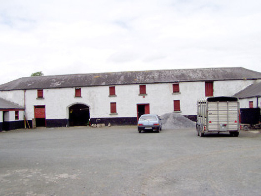 Toneen Lodgeoutbuilding · 1005 yd
 Church in KilbrideChurch · 1083 yd
 Bakers FortCastle, ringwork · 1.4 mi
 Moat of GranardCastle, motte and bailey · 1.5 mi
 1798 Monumentmonument · 1.5 mi
 Granard MotteMotte-and-bailey castle remains · 1.5 mi
 CartronfreeMountain / peak · 3.6 mi
 CarrickabaneMountain / peak · 3.9 mi
 Watty's RocksIslet · 4.4 mi
 Carrick RockWood · 4.6 mi