What is recorded here
Adare’s fairy fort is a surviving earthen ringfort in Old Park, marked on maps since 1840 and shaped into a demesne feature after 1700. Its wide fosse, tall bank and tree-covered circle suggest a place people made, changed and remembered rather than a mere fairy tale. The Ash trees hold the shape steady while the story refuses to leave it alone.
On level ground formerly known as ‘Old Park’, a surviving element of Adare Demesne planted with mature deciduous trees. The monument is depicted on the 1840 ed. OS 6-inch map as a circular-shaped ringfort standing in the Deerpark of Adare Manor. On the 1897 ed. OS 25-inch map a wide external fosse is depicted enclosing the central area of the ringfort. Site surveyed by ASI in 2000 and described as consisting of a raised circular-shaped area (int. dims. 27.5m N-S x 27m E-W) enclosed by an earth and stone bank (Wth 1.6m; H 4.2m) external fosse (Wth 10.5m; D 1.5m) with possible entrance gap (Wth 4m) at E. Fosse largely infilled from NE to SE. Interior slopes slightly to SE. Fosse and bank appear to have been re-modelled as a demesne feature possibly in the post-1700 period. The ringfort is covered in mature Ash trees visible on Google earth orthophoto taken 28/06/2018 and 29/03/2012.
See attached sketch plan surveyed and drawn by the ASI and Google Earth orthoimage
Compiled by: Edmond O’Donovan
Date of upload: 28 July 2020
See attached ASI aerial photographs ASIAP – taken on 04/03/2006.
The monument record does not grant public access. Check the route and ask the landowner before entering private land.
- What survives
- Recorded monument
Places near here
 Ivy Househouse · 836 yd
 Enclosure in BlackabbeyEnclosure · 966 yd
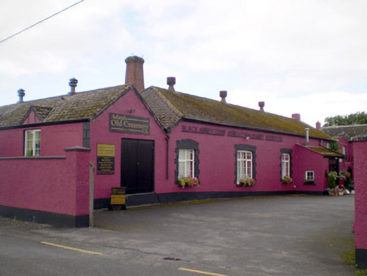 Blackabbey Creamerycreamery · 1047 yd
 OutlinedEnclosure · 1354 yd
 Adare Tourist OfficeVisitor information · 1670 yd
 Garraunboy CastleCastle · 1.2 mi
 CastleCastle, tower house · 1.2 mi
 GinkgoGinkgo · 1.3 mi
 European YewEuropean Yew · 1.3 mi
 Desmond CastleHeritage attraction · 1.4 mi
 Adare Desmond CastleMedieval castle · 1.4 mi
 KnocknagowerNamed rock · 1.8 mi