
What is recorded here
In low-lying and wet, level pasture with restricted views in all directions, 500m SW of the River Maigue. Not depicted on OS historic mapping. Monument identified as a possible enclosure in the Adare Bypass Constraint Study in (Ref. 28/A/1, p. 38). Monument surveyed by the ASI in 2000 and described as no surface remains visible. Monument is not visible on Digital Globe orthophotos taken 2011-13 or on Google Earth orthoimage taken 28/06/2018. Area of possible monument is now incorporated into a housing development visible on Google Earth orthoimage taken 14/02/2020.
See attached Google Earth orthoimages.
Compiled by: Alison McQueen and Vera Rahilly
Date of upload: 4 August 2020
The monument record does not grant public access. Check the route and ask the landowner before entering private land.
- What survives
- Recorded monument
Places near here
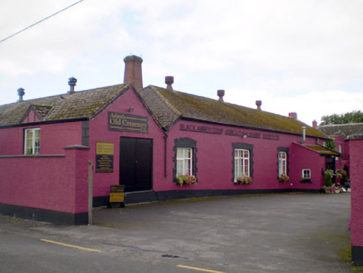 Blackabbey Creamerycreamery · 236 yd
 Thornfieldmanse · 472 yd
 Adare Tourist OfficeVisitor information · 794 yd
 Enclosure in ArdshanballyEnclosure · 816 yd
 ExcavationExcavation, miscellaneous · 1188 yd
 CastleCastle, tower house · 1220 yd
 Desmond CastleHeritage attraction · 1484 yd
 Adare Desmond CastleMedieval castle · 1487 yd
 Desmonds Castle (in ruins)Castle, Anglo-Norman masonry castle · 1494 yd
 European BeechEuropean Beech · 1587 yd
 American SweetgumAmerican Sweetgum · 1607 yd
 KnocknagowerNamed rock · 1.8 mi
Other information
Photo: Credit not shown in the picture search · Rights wording not checked; contact us if this picture should be removed