What is recorded here
Situated on a natural rise of ground in low-lying undulating countryside. A poorly preserved ringfort with a silage pit in the NE sector and a spoil heap in the NW sector. The present remains consist of a large circular area (approx. diam. 50m) enclosed by a well-preserved earthen bank (ext. H 2m) and external fosse with two directly opposite gaps at N and S. These gaps are the remains of a laneway to the nearby big house which traversed the ringfort on a N-S axis as shown on the 1843 ed. OS 6-inch map. The site was inaccessible at the time of visit due to poor underfoot conditions.
The above description is derived from 'The Archaeological Inventory of County Tipperary. Vol. 1 - North Tipperary' compiled by Jean Farrelly and Caimin O'Brien (Dublin: Stationery Office, 2002). In certain instances the entries have been revised and updated in the light of recent research.
Date of upload/revision: 22 September 2008
The monument record does not grant public access. Check the route and ask the landowner before entering private land.
- What survives
- Recorded monument
Places near here
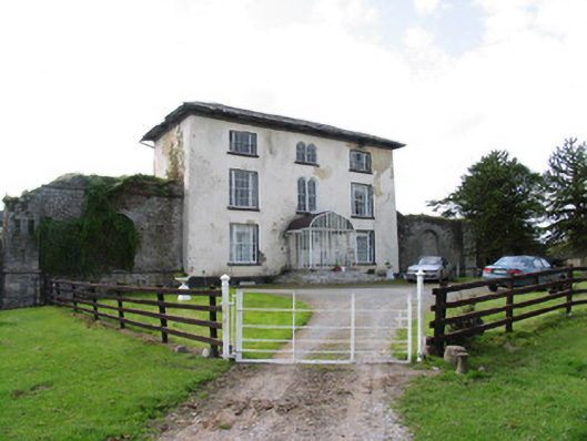 Abbeville Househouse · 332 yd
 RIC barracksRIC barracks · 484 yd
 Enclosure in AbbevilleEnclosure · 530 yd
 Piperstown VillageArchaeological place · 706 yd
 Lackeen castle (in ruins)Castle, tower house · 1025 yd
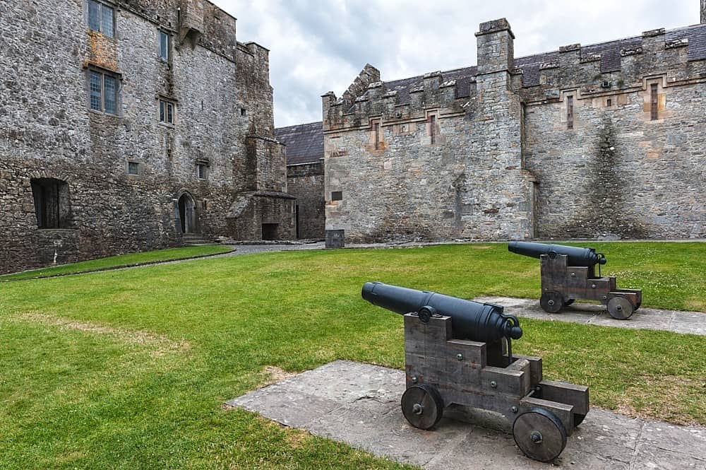 Castle, Kilcarren Ho.Castle, unclassified · 1426 yd
 Lumcloon WoodWood · 2.5 mi
 Slevoir BayBay · 4.6 mi
 Sallow IslandIsland · 4.7 mi
 Portland IslandIsland · 4.8 mi
 Borris WoodWood · 5.7 mi
 Banagher MarinaHeritage attraction · 8.5 mi