What is recorded here
Located on a flat, low-lying landscape with a small SE-NW stream immediately to the NE. Archaeological testing (09E0476) during 2009 on the route of the N5 Ballaghadereen bypass identified a shallow pit (dims 1.05m x 0.58m; D 0.14m) containing charcoal and burnt bone. It produced a C14 date of 20-220 AD and was set aside for resolution as Teevnacreeva 1 (Doyle 2010a, 11-12; 2012b). Further analysis concluded that the bone was animal, and further excavation found another pit (dims. 0.81 x 0.61m; D 0.16m) that contained only peaty silt (Kyle and Delaney 2011d; Kyle 2013c; Delaney et al. 2016, 86).
Compiled by: Michael Moore.
Date of upload: 10 February, 2012
The monument record does not grant public access. Check the route and ask the landowner before entering private land.
- What survives
- Recorded monument
Places near here
 Embanked enclosureFairy fort / earthen ringfort · 476 yd
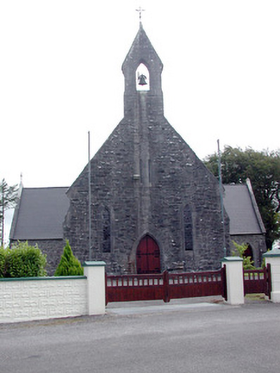 Saint Baoithín's Catholic Churchchurch/chapel · 808 yd
 Church (in Ruins)Church · 856 yd
 IndicatedFairy fort / earthen ringfort · 1.1 mi
 CastleCastle, unclassified · 1.4 mi
 Bawn IslandIslet · 2.8 mi
 Fairymount HillMountain / peak · 3.3 mi
 Frenchpark Ho.Castle, unclassified · 3.5 mi
 Square WoodForest · 3.7 mi
 Gray's WoodForest · 3.9 mi
 Rose PointHeadland · 4.0 mi
 Castle PointHeadland · 4.6 mi