What is recorded here
Situated towards the top of a W and S-facing slope overlooking the N-S River Barrow/Nore that is c. 400m to the W, and located c. 300m S of the S line of the town wall of New Ross (WX029-013005-). Archaeological testing and monitoring (03E1638) of an extensive housing development recorded a hearth as a oval feature (dims. 1.35m x 0.7m; D 0.12m) filled with two deposits containing charcoal on the fire-reddened clay. Two small pits (dims. 1m x 0.6m; D 0.18m: 1.4m x 0.6m; D 0.35m) were c. 40m to the S. The features produced no artefacts, but over 500 sherds of pottery, mostly post-medieval, was recovered in monitoring. (Mcloughlin 2005, 5, 2007c)
Compiled by: Michael Moore
Date of upload: 7 August, 2012
The monument record does not grant public access. Check the route and ask the landowner before entering private land.
- What survives
- Recorded monument
Places near here
 Brandon Househouse · 210 yd
 Brandon WellHoly well · 315 yd
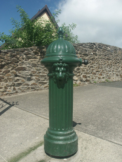 water pumpwater pump · 358 yd
 Crutched FriarsMemorial · 469 yd
 Ros Tapestry ExhibitionGallery · 621 yd
 Dunbrody Famine Ship Visitor CentreHeritage attraction · 626 yd
 O'NeillMemorial · 762 yd
 Site of Dominican AbbeyReligious house, Dominican friars · 1080 yd
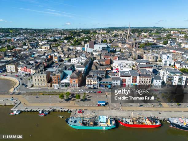 IndicatedBawn · 1.7 mi
 HawthornHawthorn · 2.4 mi
 Partridge HillMountain / peak · 2.4 mi
 Lacken HillMountain / peak · 2.8 mi