What is recorded here
Excavation near Youghal in County Cork exposed two small round holes and a possible standing stone, proving the land held older hands before modern development arrived. Struck flint in the northern hole suggests people chipped tools there long ago, while the stone in the south waits to be judged. The site is small, but it catches the breath because ordinary ground can hide forgotten life.
Excavation at a proposed development to the SE of the medieval town of Youghal (CO067-029001-) revealed two small subcircular features. Struck flint was recovered from the most northerly of the two spreads. A possible standing stone (CO067-091----) is situated in the SW area of the proposed development. (Moloney and Gleeson 2003; Moloney 2006a, 79)
The above description is derived from 'The Archaeological Inventory of County Cork. Volume 5' (Dublin: Stationery Office, 2009).
Date of upload: 22 December 2009
The monument record does not grant public access. Check the route and ask the landowner before entering private land.
- What survives
- Recorded monument
Places near here
 Seafield Househouse · 210 yd
 Friends Burial GdBurial ground · 483 yd
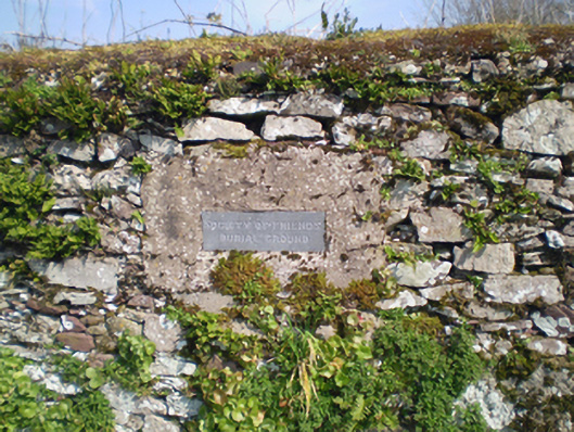 graveyard/cemeterygraveyard/cemetery · 488 yd
 Lady's WellSpring · 662 yd
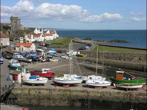 IndicatedIcehouse · 919 yd
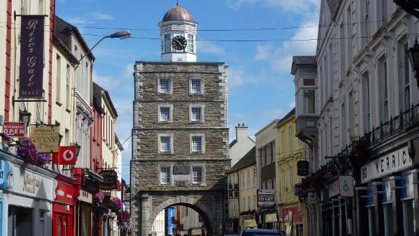 Slí na Sláinte YoughalWalking route · 1196 yd
 Town WallHeritage attraction · 1212 yd
 Collegiate Church of Saint MaryHeritage attraction · 1308 yd
 Emmet PlaceMemorial · 1324 yd
 Priory Court Car ParkVisitor information · 1336 yd
 Our Lady's CollegeMemorial · 1363 yd
 Youghal Heritage WalkWalking route · 1382 yd