What is recorded here
In 1985, men removing a field boundary in County Limerick broke through soil and revealed a small stone box holding the cremated bones of two adult males. Seven metres away lay a circular scar of ancient burning, likely the pyre where their bodies had turned to ash before entering the grave. The stones were later rebuilt inside Newcastle West Community Centre, pulling those forgotten men out of the ground and into public memory.
Discovered in 1985 during the removal of a field boundary. Inspection by National Museum staff revealed 'a prehistoric grave containing cremated human bones' (Kelly 1987). The walls, floor and roof of the grave were formed of small slabs, and 'overall it measured 50cm in maximum length, 40cm in maximum width and 35cm in depth' (ibid.). A preliminary examination of the bones suggested they were the remains of 'two adult males, one of whom may have been of advanced age' (ibid.). An area of burning (diam. 1.5m; D 1m), 7m SW of the grave, was probably 'the site of the funeral pyre' (ibid.; NMI) (LI043-008002-). The stones were removed and the cist was reconstructed in Newcastle West Community Centre. (Cahill and Sikora 2011, vol. 1, 281-6)
This is the record for the pyre.
An account of this monument has been published in: Cahill, M. & Sikora, M. (2011) Breaking ground, finding graves- reports on the excavations of burials by the National Museum of Ireland, 1927-2006. vol. 1, 281-286.
Compiled by: Denis Power
Date of upload: 16 August 2012
The monument record does not grant public access. Check the route and ask the landowner before entering private land.
- What survives
- Recorded monument
Places near here
 BarrowBarrow, ring-barrow · 1550 yd
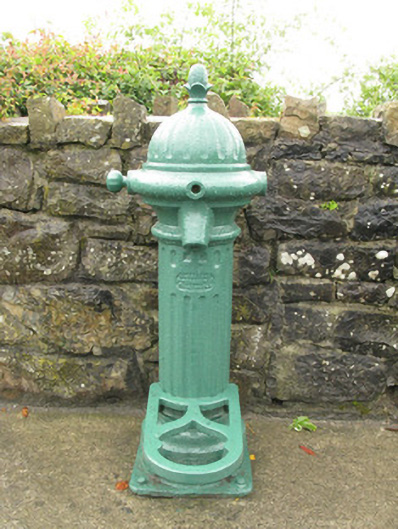 water pumpwater pump · 1.4 mi
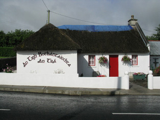 An Tigh Bothántaíochtahouse · 1.4 mi
 TobereenalaffinaSpring · 1.4 mi
 Glenquin CastleCastle · 1.7 mi
 Barnagh HillMountain / peak · 2.1 mi
 Enclosure in Ballymurragh EastEnclosure · 2.1 mi
 Dotted outlineBawn · 3.0 mi
 Sugar HillMountain / peak · 3.0 mi
 Saint Ite's WellSpring · 3.1 mi
 Limerick GreenwayWalking route · 4.1 mi
 Mullaghareirk - Banane LoopWalking route · 7.0 mi