What is recorded here
Kilcarrig, County Carlow holds a rough L-shaped ghost from 3644 BC, its wooden uprights long vanished but their cylindrical holes still visible beside ancient hearths. That modest Neolithic footprint suggests ordinary human ingenuity rather than ceremonial grandeur, while a nearby Bronze Age burial shows the land kept drawing people back across millennia. The quarrymen did not chase glory; they merely cut through soil old enough to make human life itself look young.
Excavated in advance of construction of the N9/N10 Kilcullen-Waterford Road (Excavation Licence number E2601). A number of post-medieval features were recorded. (Hackett L. 2009, 48)
Reference:
Hackett, L. (2009) 'Powerstown Prehistoric/post-medieval' in I. Bennett (ed.), Excavations 2006: summary accounts of archaeological excavations in Ireland, 48 (199). Bray. Wordwell
Compiled by: Claire Breen
Date of upload: 10 November 2010
The monument record does not grant public access. Check the route and ask the landowner before entering private land.
- What survives
- Recorded monument
Places near here
 Milford Locklock · 1483 yd
 CrossCross, High cross · 1563 yd
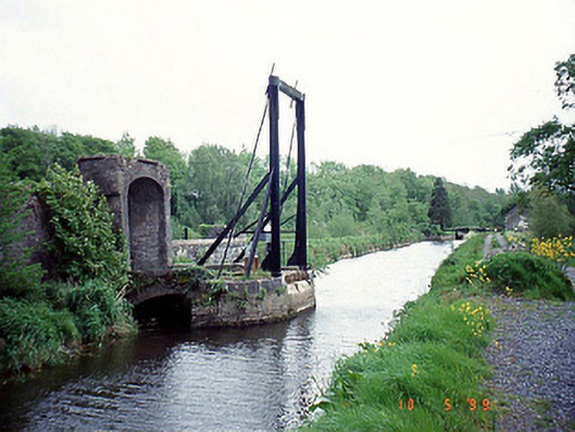 bridgebridge · 1646 yd
 Enclosure in PowerstownEnclosure · 1.0 mi
 Graveyard in Tomard Lower (3 Detached Portions)Graveyard · 1.0 mi
 Graveyard in ClonmelshGraveyard · 1.4 mi
 Common LimeCommon Lime · 1.7 mi
 Black Castle (in ruins)Castle, tower house · 2.2 mi
 Clogrenan CastleCastle, tower house · 3.1 mi
 Sweet ChestnutSweet Chestnut · 3.7 mi
 Gallows HillMountain / peak · 3.9 mi
 Lock Keeper's House and Lodge MillsVisitor information · 4.3 mi