What is recorded here
Identified in centre-line testing (E4110) in advance of the M11 Gorey to Enniscorthy road scheme and resolved by A. Mulcahy as Oulartard 2 (E4349) during the testing stage (Hardy et al. 2010, 70). It is situated on a W-facing slope with a N-S stream c. 150m to the W. This is a single pit (dims 1.28m x 1.2m; D 0.15m) with a lower fill of black silty clay with frequent charcoal and burnt stone inclusions. A sample from this provided a C14 date of Cal. AD 445-624. The pit (WX020-081----) c. 35m to the W is completely unconnected with this feature. (Mulcahy 2011; 2013)
Compiled by: Michael Moore
Date of upload: 28 November, 2013
The monument record does not grant public access. Check the route and ask the landowner before entering private land.
- What survives
- Recorded monument
Places near here
 Site of Kildenis ChurchChurch · 920 yd
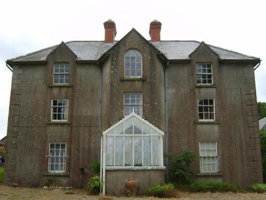 Tinnacross Housefarm house · 1135 yd
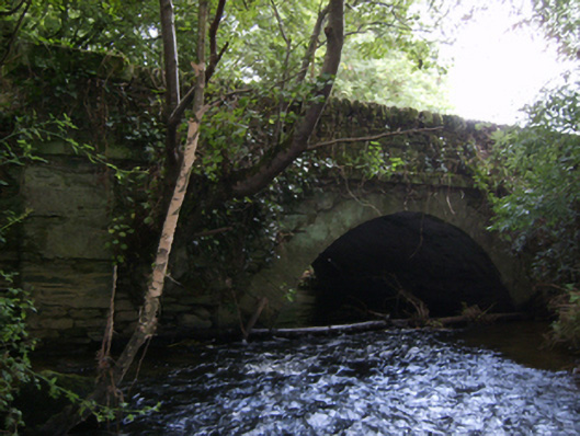 Crane Bridgebridge · 1372 yd
 Font in KillabegFont · 1441 yd
 U.N. Peace MemorialMonument · 4.0 mi
 Battle of Vinegar HillMajor battlefield · 4.1 mi
 Duffry GateMemorial · 4.1 mi
 National 1798 CentreMuseum · 4.3 mi
 Daphney CastleCastle, unclassified · 5.2 mi
 CastleCastle, ringwork · 6.0 mi
 Pedunculate OakPedunculate Oak · 6.3 mi
 European LarchEuropean Larch · 6.6 mi