What is recorded here
Identified in centre-line testing (E4110) in advance of the M11 Gorey to Enniscorthy road scheme and set aside for resolution as Myaugh 2 (Hardy et al. 2010, 6-8). It is located on a slight S-facing slope, which had a small E-W stream c. 50m to the S that is now diverted into an E-W ditch c. 20m to the S. An extensive area was excavated (E4163) by M. McNamara when about 57 post-holes, 74 pits, two hearths and two possible cremation burials (dims 0.35m x 0.35m; D 0.04m: 0.48m x 0.42m; D 0.06m) were recorded. Worked and unworked flint, prehistoric pottery, hammer and rubbing stones and a saddle-quern were recovered throughout the site, and there were some very large pits (diam. 3.15m; D 0.72m: 5.8m x 3.33m; D 0.87m). Although the features probably represented domestic activity no structures were identified and further features could survive outside the excavated area. The burnt mounds (WX020-080001-; WX020-080002-) are c. 50-60m to the S. (Hardy and Rajic 2012; McNamara 2013)
Compiled by: Michael Moore
Date of upload: 28 November, 2013
The monument record does not grant public access. Check the route and ask the landowner before entering private land.
- What survives
- Recorded monument
Places near here
 Burnt spread in TinnacrossBurnt spread · 285 yd
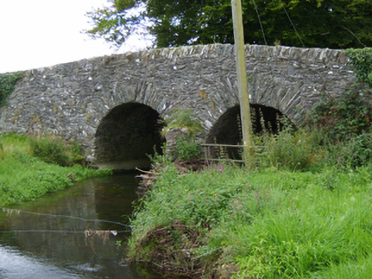 Tinnacross Bridgebridge · 408 yd
 Not idicatedFairy fort / earthen ringfort · 668 yd
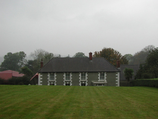 farm housefarm house · 953 yd
 U.N. Peace MemorialMonument · 5.1 mi
 Battle of Vinegar HillMajor battlefield · 5.2 mi
 Duffry GateMemorial · 5.2 mi
 National 1798 CentreMuseum · 5.4 mi
 Daphney CastleCastle, unclassified · 6.3 mi
 European LarchEuropean Larch · 6.6 mi
 European YewEuropean Yew · 6.6 mi
 CastleCastle, ringwork · 7.0 mi