What is recorded here
On an E-facing slope, on the N bank of the Gradoge River and c. 13m to the NW of a burnt mound (CO019-170----). This pit (0.6m x 0.5m; D 0.3m), which had concave sides, was excavated in 2004 in advance of the construction of the N8 Mitchelstown relief road. Two flat stones had been placed in the round-bottomed base of the pit and three pottery vessels, filled with coarse sand, had been placed on top of these stones. The vessel types comprised a cordoned urn, a handled and footed facemask cup and a tub-shaped pot. The uppermost of the three fills in the pit contained charcoal, a sample of which was radiocarbon dated to the Bronze Age (1916-1696 cal. BC). A stake-hole was also found 1.1m NW of the pit. (Sutton 2006d)
The above description is derived from 'The Archaeological Inventory of County Cork. Volume 5' (Dublin: Stationery Office, 2009).
Date of upload: 22 December 2009
The monument record does not grant public access. Check the route and ask the landowner before entering private land.
- What survives
- Recorded monument
Places near here
 Burnt mound in MitchelstownBurnt mound · 12 yd
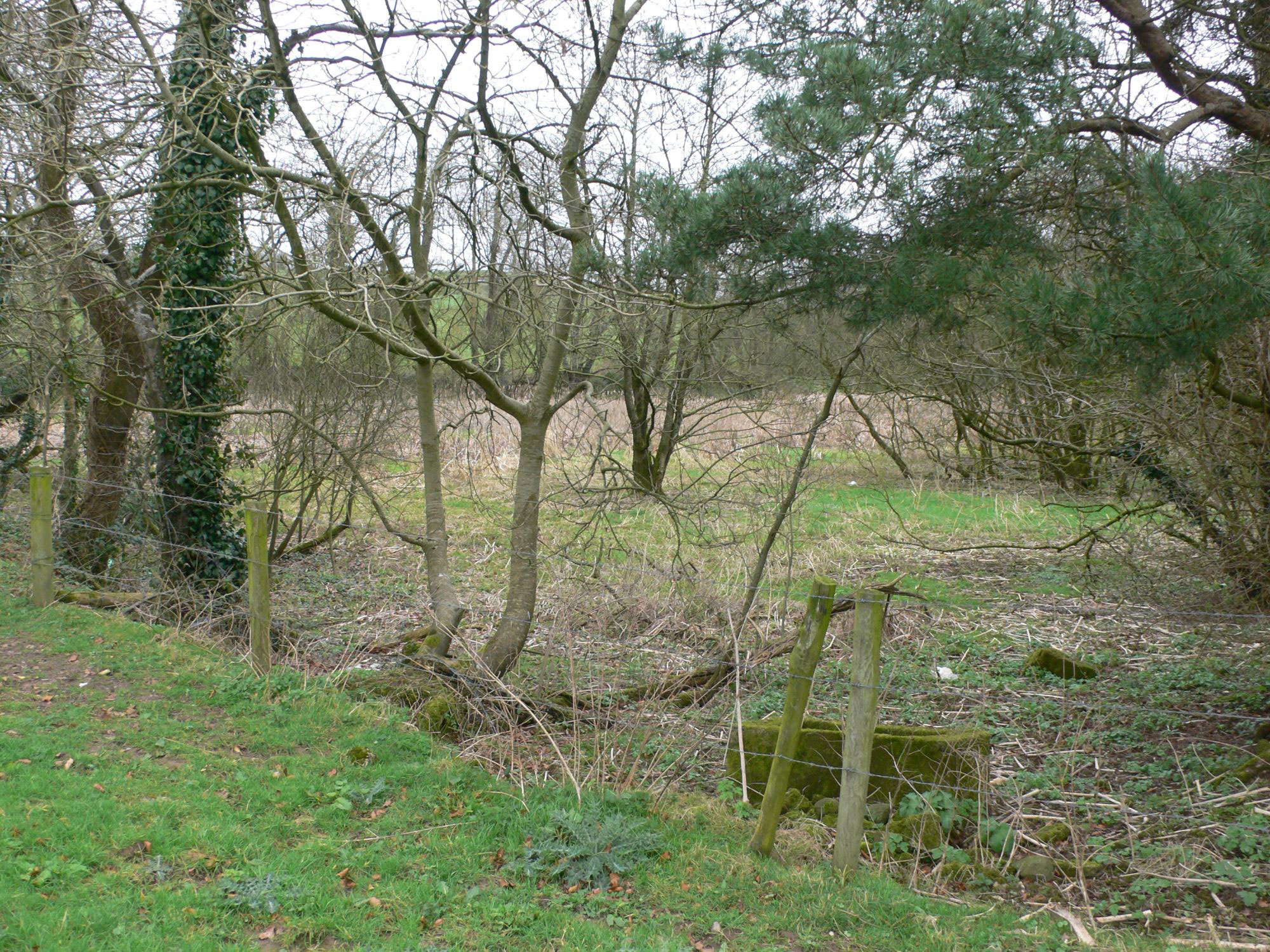 ornamental canal/lakeornamental canal/lake · 228 yd
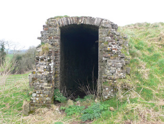 icehouseicehouse · 253 yd
 White Knights Tower (Site of)Castle, unclassified · 747 yd
 Stone CircleHut site · 808 yd
 John MandevilleMemorial · 1700 yd
 Mitchelstown Town MapVisitor information · 1705 yd
 Statue of Saint FanahanMemorial · 1.0 mi
 Carriganoura Castle (in Ruins)Castle, tower house · 1.4 mi
 Ballyarthur HillMountain / peak · 2.9 mi
 FlagCave · 3.5 mi
 Kilclooney WoodWood · 4.2 mi