What is recorded here
Discovered prior to road construction (Excavation Licence No. 03E0891). Located on the S slope of a low drumlin. A number of pits forming no coherent pattern were excavated. Possibly associated with the rath excavated to the N (MO031-130----). (Coughlan T. 2006, 398-9)
Date of upload: 14 April 2011
The monument record does not grant public access. Check the route and ask the landowner before entering private land.
- What survives
- Recorded monument
Places near here
 IndicatedCrannog · 424 yd
 Crannog in Drummond OtraCrannog · 433 yd
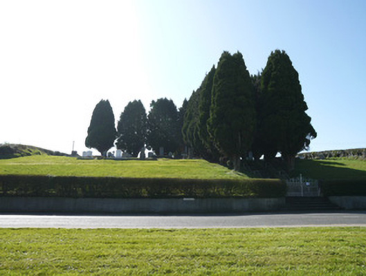 God's Acregraveyard/cemetery · 553 yd
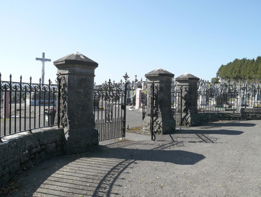 Saint Joseph's Cemeterygates/railings/walls · 740 yd
 Horse-chestnutHorse-chestnut · 1.3 mi
 European BeechEuropean Beech · 1.5 mi
 Mannan Castle (in ruins)Castle, Anglo-Norman masonry castle · 2.4 mi
 TobernagalliaghSpring · 3.4 mi
 Flat cemetery in AnnaheanFlat cemetery · 4.0 mi
 Drumerlough MoreMountain / peak · 4.9 mi
 BarleyhillMountain / peak · 5.1 mi
 Castle ruinsCastle, unclassified · 5.5 mi