What is recorded here
Several pits were excavated c. 40m S of an enclosure (KK035-048001-) in 2006 in advance of the N9/N10 Kilcullen to Waterford road improvement scheme (Excavation licence no. E2513). One pit (L 0.45m; Wth 0.4m; D 0.23m) had inclusions of burnt bone and occasional charcoal but the bone was not identified as to species. Four pits c. 18m to the NE occurred in a row, aligned with the aforementioned pit. They contained inclusions of charcoal, burnt bone, seeds and some angular stones. One of the four pits produced a bead while a sample from another yielded a radiocarbon date of 91 cal BC – cal AD 48 (UBA-14001). A quern stone was noted on the ground surface, set into the surface of another pit, 12.5m SW from the row of pits above. (Channing 2009, 268, no. 1047; Channing and O’Neill 2010)
Compiled by: Mary Tunney
Date of upload: 16 October 2013
The monument record does not grant public access. Check the route and ask the landowner before entering private land.
- What survives
- Recorded monument
Places near here
 IndicatedEnclosure · 98 yd
 Knockmoylan Ringfort (rath)Archaeological place · 784 yd
 Knocklmoylan CastleCastle · 1419 yd
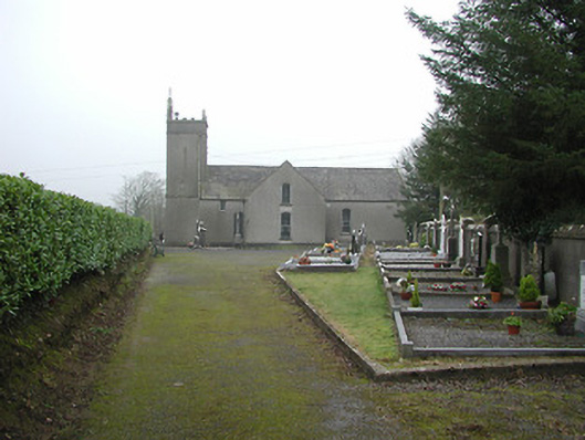 All Saints' Catholic Churchchurch/chapel · 1.1 mi
 Lismateige Bridgebridge · 1.2 mi
 MoatCastle, motte · 1.3 mi
 Thomas PhelanMemorial · 2.0 mi
 Graveyard in KilkeasyGraveyard · 2.0 mi
 Poulanassy WaterfallWaterfall · 3.5 mi
 Corbally WoodForest · 3.5 mi
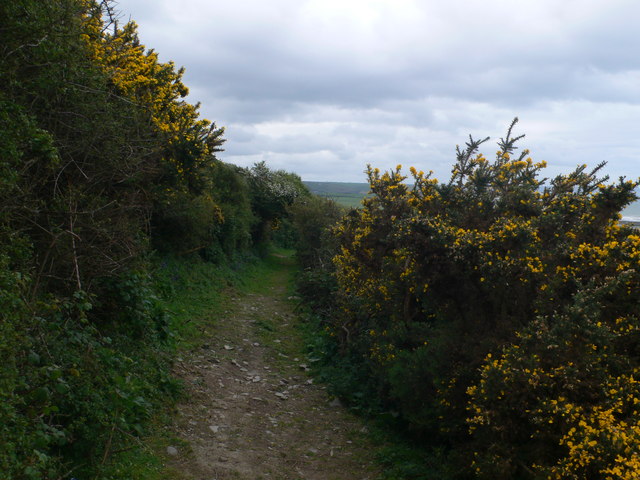 Dowling GorseForest · 4.1 mi
 Castlemorris Pheasant LoopWalking route · 4.2 mi