What is recorded here
Excavated (00E0197) as part of the N25 Kilmacthomas re-alignment at Chainage 9500. Situated on a slight S-facing slope with a NE-SW stream c. 90m to the SE. An area of c. 10m x 10m produced a circular pit (diam. 0.55m; D 0.32m), a subrectangular pit (dims. 0.36m x 0.2m; D 0.05m) 1m to the E and a post-hole, but there were no artefacts. The pits (WA015-101----) are c. 130m to the NE. (Elder 2002a; Elder and Tierney 2002, 10-12)
Compiled by: Michael Moore.
Date of upload: 17th December, 2010.
The monument record does not grant public access. Check the route and ask the landowner before entering private land.
- What survives
- Recorded monument
Places near here
 Burnt mound in CarrignanonshaghBurnt mound · 448 yd
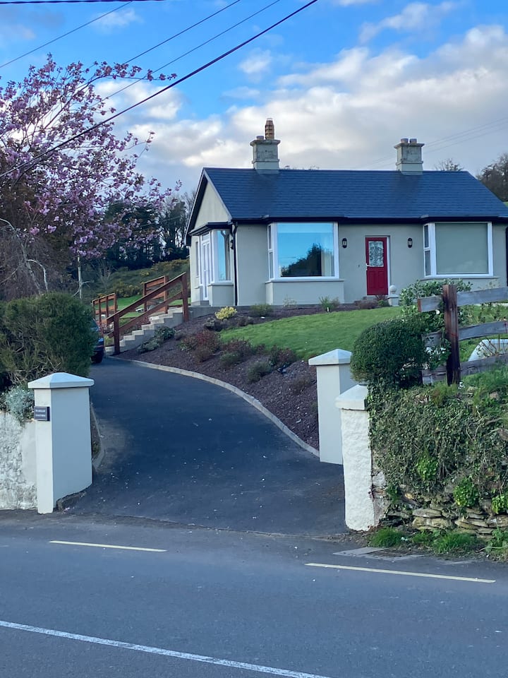 Fulacht fia in KilmacthomasFulacht fia · 467 yd
 Saint John's Church (Rossmire)church/chapel · 639 yd
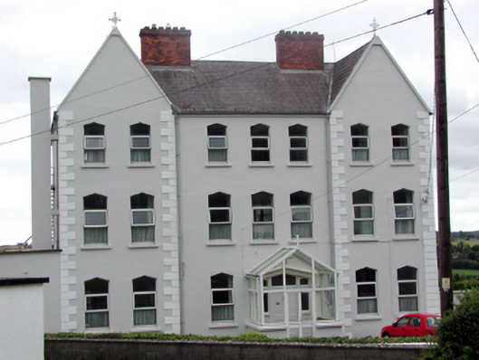 Convent of Mercyconvent/nunnery · 818 yd
 8 Arch GalleryGallery · 1255 yd
 Site of Cas.Castle, unclassified · 1272 yd
 Castle (in ruins)Castle, unclassified · 1.8 mi
 Croughaun HillMountain / peak · 3.6 mi
 St. Bernard's WellSpring · 4.4 mi
 Crough WoodWood · 4.5 mi
 Copper CoastCoastal geological landscape · 4.6 mi
 Bunmahon Miners' CottagesVisitor information · 4.6 mi