What is recorded here
A possible pit and hearth were identified here during pre-development testing in 2007 (Excavation Licence 07E0770) (Ní Lionáin 2010, 556).
Compiled by: Claire Breen
Date of upload: 14 December 2012
The monument record does not grant public access. Check the route and ask the landowner before entering private land.
- What survives
- Recorded monument
Places near here
 Cross (Base of)Cross · 124 yd
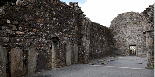 Ecclesiastical enclosure in KillegarEcclesiastical enclosure · 125 yd
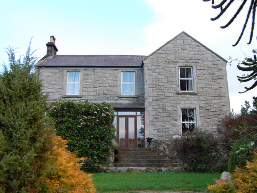 Scalp Farmfarm house · 1166 yd
 Annabaskey Church (in ruins)Church · 1179 yd
 The Bog MeadowWood · 1185 yd
 Barnaslingan HillMountain / peak · 1739 yd
 Barnaslingan - Pine loop trailWalking route · 1.1 mi
 Barnaslingan - Scalp Lookout TrailWalking route · 1.1 mi
 European BeechEuropean Beech · 1.3 mi
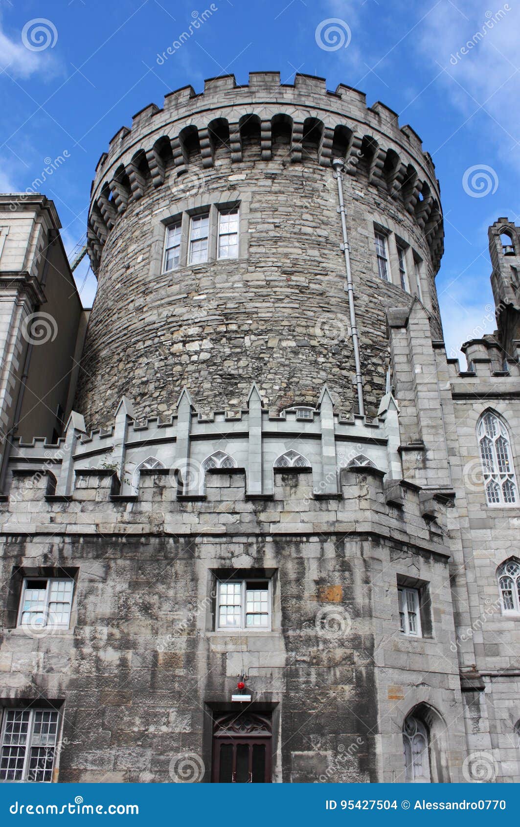 CastleCastle, tower house · 1.3 mi
 Carrickgollogan HillMountain / peak · 1.4 mi
 Powerscourt EstateHeritage attraction · 1.4 mi