What is recorded here
Fire cracked stones inside forgotten pits, and charcoal from hazel, oak and alder still sleeps in the dark soil. Most holes are nothing but rotten tree boles, yet a wide ditch cuts south along the land, perhaps marking a boundary or draining rain when people still walked this level ground. The road bypass revealed what fields had hidden, forcing ancient roots and temporary camps into the light.
Located in a fairly level landscape. Archaeological monitoring (01E0538) of the centre-line and offsets on the line of the Enfield bypass road identified six potential archaeological areas that were subsequently resolved under different licences (Clutterbuck 2003). In this area excavation (01E0620) recorded a number of patches of dark soil which resolved into pits containing silty clays with heat-shattered stones, but no diagnostic artefacts were recovered. Ash, hazel, oak and alder were represented in the charcoal. The largest pit (dims 2.1m x 1.7m D 0.5m) was filled with grey sandy clay and proved to be a tree bole and most of the features are of this nature. A N-S ditch (Wth of top 3.3m; D 1.2m) with a single fill of sandy clay produced a modern iron nail. It is parallel with some of the modern field boundaries and is probably a post-medieval drainage ditch. Many of the features were cut by E-W furrows. (Clutterbuck 2003, 2009)
Compiled by: Michael Moore
Date of upload: 14 August 2019
The monument record does not grant public access. Check the route and ask the landowner before entering private land.
- What survives
- Recorded monument
Places near here
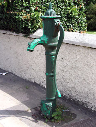 water pumpwater pump · 900 yd
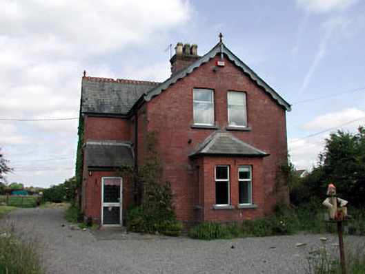 Enfield Railway Stationstation master's house · 1189 yd
 EnclosureEnclosure, large enclosure · 1377 yd
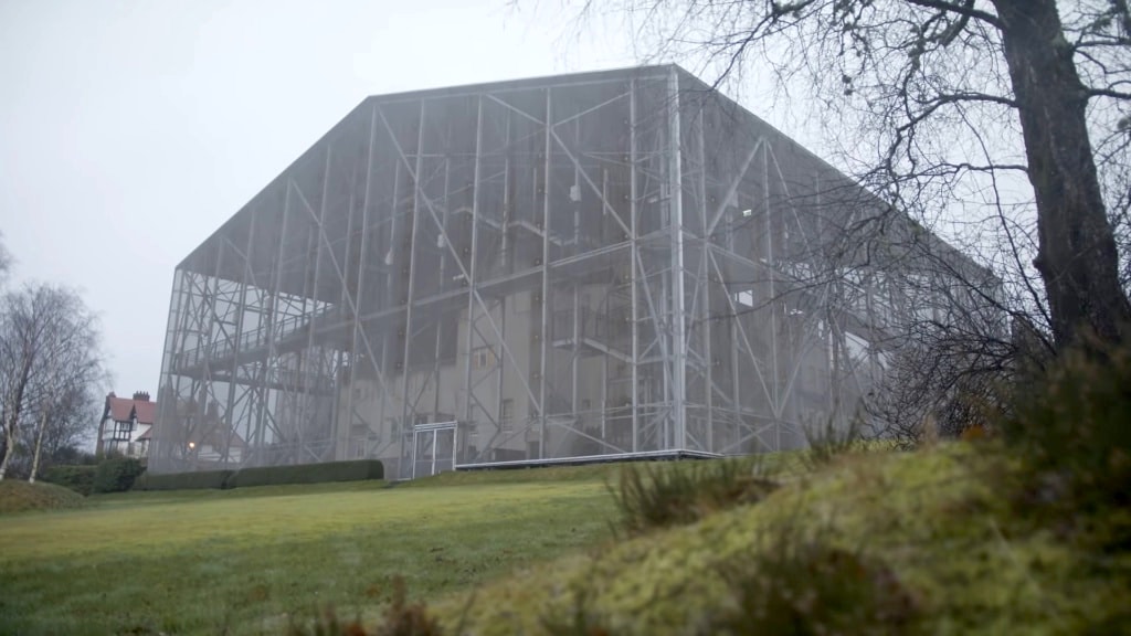 Enclosure in Posseckstown (moyfenrath Lower By.)Enclosure · 1494 yd
 Cloncurry MoatCastle, motte · 1.3 mi
 European ashEuropean ash · 1.3 mi
 Cloncurry GraveyardHeritage attraction · 1.3 mi
 Site of Dunfierth CastleCastle, unclassified · 1.4 mi
 Old Bog Road made famous by Teresa Bryton 1868-1943Memorial · 2.6 mi
 The Grill ShackHeritage attraction · 4.0 mi
 Wych ElmWych Elm · 4.5 mi
 9/11 MemorialMemorial · 5.4 mi