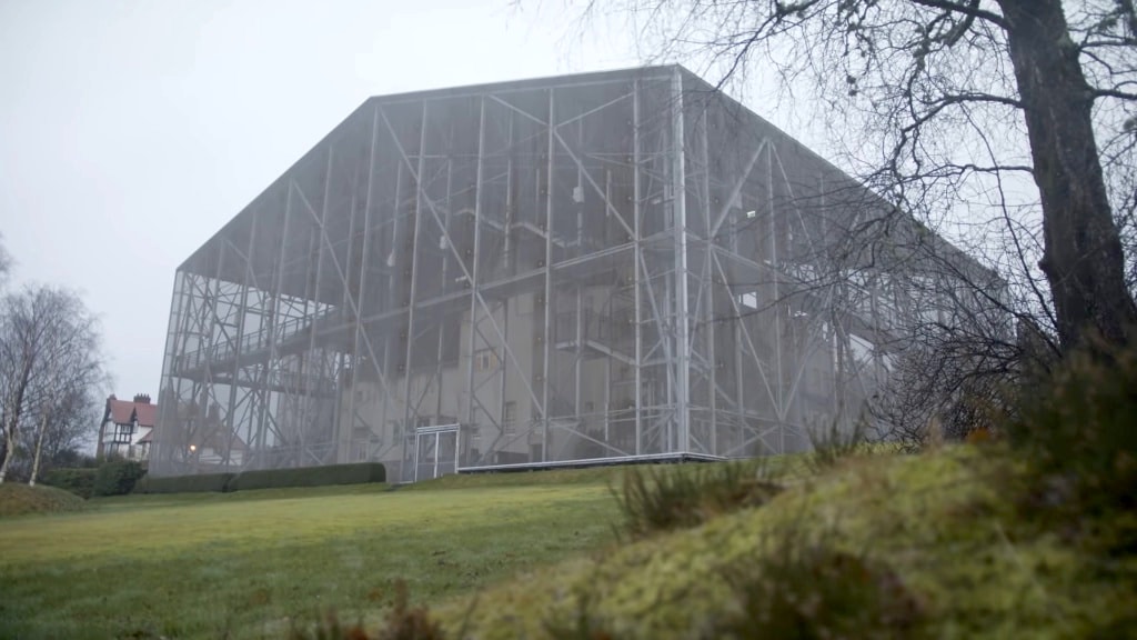
What is recorded here
Situated on a level low-lying landscape. An aerial photograph (GB89.AM.32) shows the cropmark of a subtriangular enclosure (dims c. 50m x c. 50m) defined by a fosse feature. It is plough-levelled, and is not visible on any other aerial images.
Compiled by: Michael Moore
Date of upload: 14 August 2019
The monument record does not grant public access. Check the route and ask the landowner before entering private land.
- What survives
- Recorded monument
Places near here
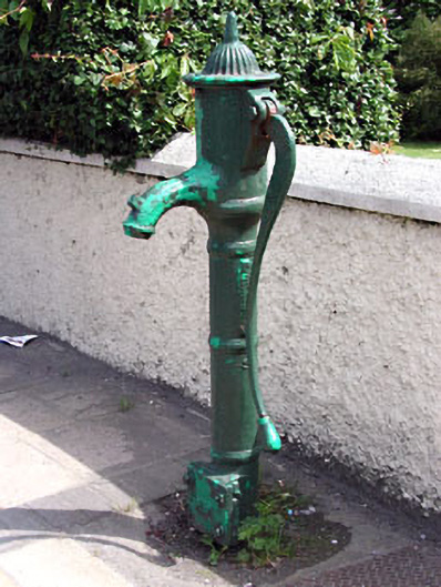 water pumpwater pump · 1054 yd
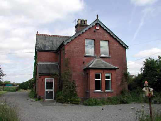 Enfield Railway Stationstation master's house · 1060 yd
 Enclosure in KilcorneyEnclosure · 1253 yd
 Cloncurry MoatCastle, motte · 1.2 mi
 European ashEuropean ash · 1.2 mi
 EnclosureEnclosure, large enclosure · 1.2 mi
 Cloncurry GraveyardHeritage attraction · 1.2 mi
 Bawn in Newcastle (moyfenrath Lower By.)Bawn · 1.7 mi
 Old Bog Road made famous by Teresa Bryton 1868-1943Memorial · 2.4 mi
 Wych ElmWych Elm · 3.7 mi
 The Grill ShackHeritage attraction · 4.8 mi
 Mass was there in Penal TimesMemorial · 6.4 mi
Other information
Photo: Credit not shown in the picture search · Rights wording not checked; contact us if this picture should be removed