What is recorded here
Discovered during archaeological test trenching (Excavation Licence 01E0874). Sections of at least two ditches/gullies (LH012-064001- and LH012-064002-) were identified. Their function is unclear as no artefacts were recovered from them and only very small sections were excavated. Two distinct areas of burning were also identified (LH012-064003- and LH012-064004-). The first consisted of several small areas of burning in close proximity but it is not clear whether these represent the edge of a large archaeological burnt spread or are a non-archaeological deposit. The second spread consisted of charcoal, ash, burnt clay and heat shattered stone i.e. burnt mound material. The location of these two spreads close to a river and marshy areas suggests that they may have been part of fulachta fia. (Coughlan, 2001)
Compiled by: Claire Breen
Date of upload: 19 April 2012
The monument record does not grant public access. Check the route and ask the landowner before entering private land.
- What survives
- Recorded monument
Places near here
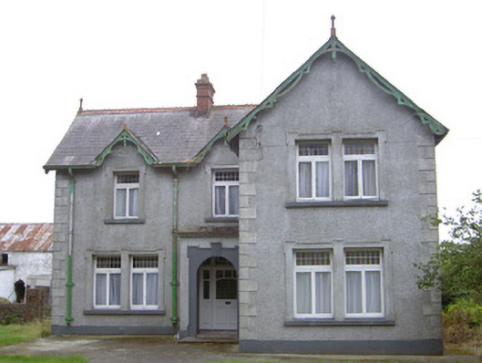 Hayestown Farmhouse · 511 yd
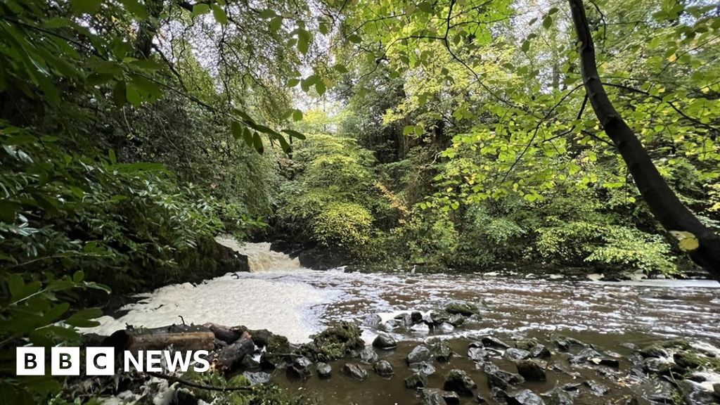 Fulacht fia in CrumlinFulacht fia · 526 yd
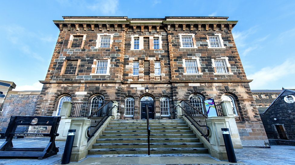 Enclosure in CrumlinEnclosure · 534 yd
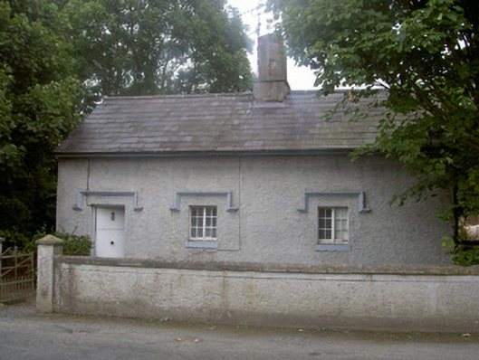 Clermont Parkgate lodge · 1073 yd
 CastleCastle, tower house · 1501 yd
 BallybarrackMountain / peak · 1607 yd
 MountCastle, motte and bailey · 1726 yd
 Broad WoodForest · 1.6 mi
 Long WoodForest · 1.6 mi
 Photo GalleryHeritage attraction · 2.0 mi
 Dundalk CentralHeritage attraction · 2.1 mi
 Maid of ErinMemorial · 2.3 mi