What is recorded here
Excavation is an excavation, miscellaneous in Gortnacrannagh, County Roscommon, Ireland. Aidan O’Connell tested the gentle NE-facing slope and identified two linear furrows plus an isolated sub-oval pit 1.7m wide, 1.45m long and 0.13m deep. Roscommon County Council commissioned the work for the N5 Ballaghaderreen - Scramoge road development.
First identified in an unpublished archaeological LiDAR report (Davis, 2015) and unpublished archaeo-geophysical report (Bonsall & Gimson 2015) commissioned by Roscommon County Council as part of the Environmental Impact Assessment for the N5 Ballaghaderreen - Scramoge road development. It is located on a gentle NE-facing slope. While the LiDAR image shows a small circular feature that might be surrounded by a bank (Davis 2015, 116, No. 45.4) there is no surface indication of an antiquity. The area has also been tested archaeologically (Licence 15E0588) by Aidan O’Connell, who identified two linear features likely to be furrows and an isolated sub-oval pit (dims 1.7m E-W; 1.45m N-S; D 0.13m) (O’Connell, forthcoming).
Compiled by : Michael Moore
Date of revised upload: 5 August, 2016
The monument record does not grant public access. Check the route and ask the landowner before entering private land.
- What survives
- Recorded monument
Places near here
 Enclosure in Cherryfield OR DrishaghanEnclosure · 694 yd
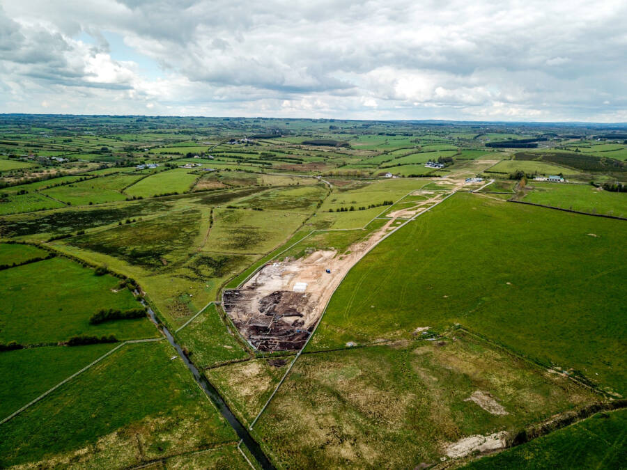 Enclosure in GortnacrannaghEnclosure · 1199 yd
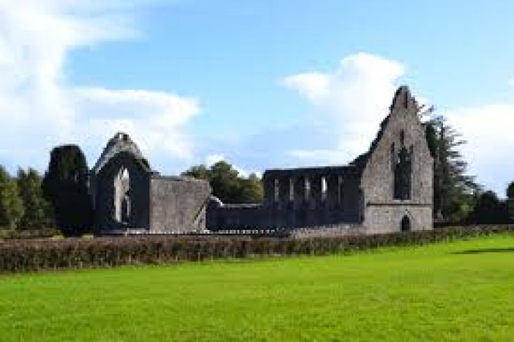 AbbeyChurch · 1310 yd
 War of Independence Commemorative Military MemorialMemorial · 1492 yd
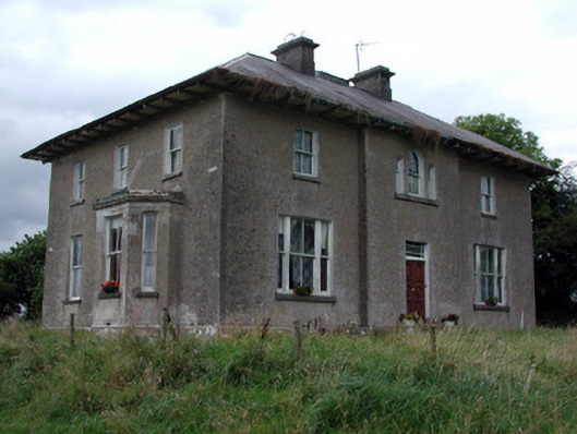 Rossmore Househouse · 1598 yd
 CastleCastle, unclassified · 3.5 mi
 Cruachan Aí Heritage CentreMuseum · 3.6 mi
 European ashEuropean ash · 4.0 mi
 ToberagullaSpring · 4.1 mi
 CastlerubyCastle, unclassified · 5.4 mi
 Coolnahinch WoodWood · 5.6 mi
 Bawn IslandIslet · 11 mi