What is recorded here
Archaeological testing and excavation (98E0226) in an area c. 150m SE of the Cathedral (WA040-008002-) at Ardmore, on the E side of the N-S ravine produced a hearth and a slot-trench with flint flakes. Nearby was an area with burnt clay and organic layers. (Tierney 2002d)
Tierney, J. (2002d) Dysert. Adjacent to ecclesiastical site. In Bennett, (ed.) Excavations 2000: summary accounts of excavations in Ireland, 336, No. 991. Wordwell. Bray.
The monument record does not grant public access. Check the route and ask the landowner before entering private land.
- What survives
- Recorded monument
Places near here
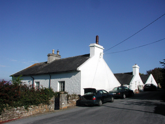 Rock Househouse · 394 yd
 Baile StairiúilVisitor information · 431 yd
 Ardmore Cliff WalkWalking route · 455 yd
 St. Declans WellHoly well · 471 yd
 Dysert ChurchRuins · 484 yd
 St. Declans StoneRitual site, holy/saint's stone · 625 yd
 Ardmore Round TowerMedieval round tower · 795 yd
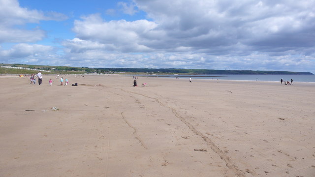 Ardmore BeachBeach / strand · 1276 yd
 Curragh/Pebble BeachBeach / strand · 1.5 mi
 Cabin PointHeadland · 3.4 mi
 Site of CastleCastle, unclassified · 4.5 mi
 Kilmaloo LoughWood · 5.2 mi