What is recorded here
Located on a steep S-facing slope of the River Blackwater, with a WNW-ESE section of the stream c. 500m to the S. Archaeological testing (04E1060) by D. Bayley (2005) at Testing Area 9 of Contract 5 of the M3 motorway identified archaeological features in a limited area (dims c. 20m x c. 12m) that were completely excavated (E003187) by S. Rathbone in January 2007 (excavations.ie 2007:1294) as Derver 1. It consisted of a hearth (dims 0.47m x 0.4m; T 0.12m) with a fire-reddened base, two small pits (dims 0.34m; x 0.22m; D 0.14m: 0.42m x 0.4m; D 0.08m) and a larger pit (dims 2.65m x 1.18m; D 0.38m) with largely sterile fills that had some charcoal flecking. A small cut (dims 0.61m x 0.48m; D 0.15m) produced 33 fragments of Beaker pottery dating to the Late Neolithic or Early Bronze Age, 19 of which came from the same vessel, but no radiocarbon date was obtainable. There were also two shallow hollows, one of which (diam. 0.7m; D 0.12m) contained the skeleton of a lamb and may be recent. (Rathbone and Ginn 2008)
Compiled by: Michael Moore
Date of upload: 3 March 2022
The monument record does not grant public access. Check the route and ask the landowner before entering private land.
- What survives
- Recorded monument
Places near here
 Church in EdenburtChurch · 560 yd
 FortsCastle, motte and bailey · 582 yd
 Mote of DerverArchaeological place · 598 yd
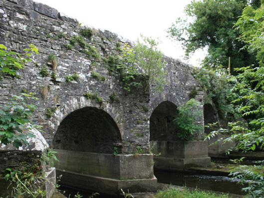 O'Daly's Bridgebridge · 1197 yd
 IndicatedEnclosure · 1741 yd
 Woodpole Fox CovertWood · 1.3 mi
 Feegat ForestWood · 1.3 mi
 Balgree MoteCastle, motte · 1.5 mi
 MaperathMountain / peak · 2.8 mi
 MountainpoleMountain / peak · 4.0 mi
 Oliver Plunkett memorialMemorial · 4.0 mi
 The Kieran Flanagan WayMemorial · 4.3 mi