What is recorded here
An irregularly shaped pit (max. diam. 0.8m; D 0.08m) discovered prior to road construction (Excavation Licence No. 99E0200). Its fill contained flecks of charcoal, fragments of shattered stone and a single sherd of coarse pottery. (Seaver 2000, 190)
Compiled by: Claire Breen
Date of upload: 29 June 2012
The monument record does not grant public access. Check the route and ask the landowner before entering private land.
- What survives
- Recorded monument
Places near here
 Dawsons MoatCastle, motte and bailey · 193 yd
 Fulacht fia in BroadloughFulacht fia · 293 yd
 Fulacht fia in CappocksgreenFulacht fia · 295 yd
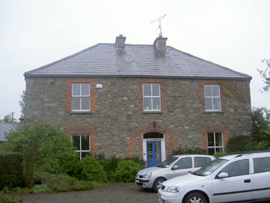 Greenvale Housemill manager's house · 416 yd
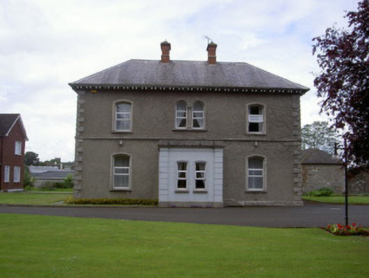 presbytery/parochial/curate's housepresbytery/parochial/curate's house · 909 yd
 The LissCastle, motte · 1070 yd
 Sir Frederick Foster MemorialMemorial · 1279 yd
 Graveyard in StickillinGraveyard · 1530 yd
 European White ElmEuropean White Elm · 1712 yd
 Lebanon CedarLebanon Cedar · 1729 yd
 Mount OrielMountain / peak · 4.6 mi
 Black HillMountain / peak · 5.6 mi