What is recorded here
Cloonturk 1 lies on a level plain in County Leitrim, where a tiny pit held charcoal and small stones before modern drains cut through the earth. The marks may belong to prehistoric hands, though no object remains to prove it. Forgetting is not the same as losing; it is a invitation to imagine the life that disappeared.
Situated on a fairly level landscape. First identified in centre-line testing (05E0983) for a new line of the N4 (O’Connor et al. 2005, 26), and later fully resolved (E003293) as Cloonturk 1. A small pit (dims 0.94m x 0.7m; D 0.25m) was filled by a brown clay/sand deposit with charcoal inclusions and small stones but no artefacts were recovered. It may be prehistoric as might a nearby layer (dims 1.6m x 0.82m; D 0.2m) filling a hollow, and both were stratigraphically earlier than post-medieval ditches and drains. An unmapped drain (L 50m; Wth 1.5m D 0.25-0.4m 32) extended E-W and was probably contemporary with a N-S unmapped field drain (L 30m Wth 1.5m; D 0.35m) at its W end. (McGowan and O’Connor 2008, 14-16)
Compiled by: Michael Moore
Date of upload: 9 January 2020
O’Connor, D. J., Marta Muniz Pérez and Sheelagh Conran 2005 N4 Dromod Roosky Bypass. Advance Archaeological Works Contract Licence No. 05E0983 Preliminary Report. Unpublished, CRDS
The monument record does not grant public access. Check the route and ask the landowner before entering private land.
- What survives
- Recorded monument
Places near here
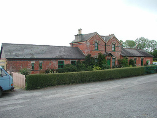 Dromod Railway Stationstation master's house · 971 yd
 Cavan & Leitrim RailwayMuseum · 972 yd
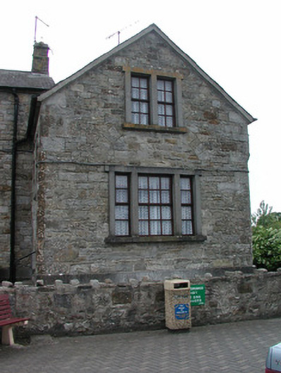 Dromod Garda Síochána Stationcourt house · 1276 yd
 Holy well in Cashel (mohill By.)Holy well · 1449 yd
 LiscromaunFairy fort / earthen ringfort · 1727 yd
 Inchmurrin or Rabbit IslandIslet · 1.5 mi
 Otter IslandIslet · 1.6 mi
 CastleCastle, tower house · 3.0 mi
 Monkey-puzzleMonkey-puzzle · 3.0 mi
 Western HemlockWestern Hemlock · 3.0 mi
 OratoryCastle, tower house · 3.4 mi
 Turlough O'Carolan MonumentHeritage attraction · 4.3 mi