What is recorded here
Located on a SW-facing slope in the valley of a small NW-SE stream and c. 60m N of the site of Clongeen parish church (WX040-027001-). Archaeological testing (06E0449) in advance of development identified a concentration of features including a pit (dims 0.6m x 0.3m; D 0.2m) and a pit (dims 0.9m x 0.3m) with a charcoal fill, as well as numerous furrows. (McLoughlin 2006c)
Compiled by: Michael Moore
Date of upload; 19 February, 2013
The monument record does not grant public access. Check the route and ask the landowner before entering private land.
- What survives
- Recorded monument
Places near here
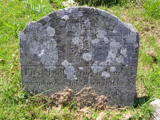 graveyard/cemeterygraveyard/cemetery · 84 yd
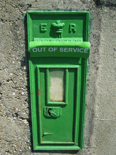 post boxpost box · 103 yd
 Burnt spread in ClongeenBurnt spread · 233 yd
 St. Edans WellHoly well · 245 yd
 Coolcliffe HouseRuins · 1.4 mi
 Bryanstown Ho.Castle, tower house · 1.5 mi
 CastleCastle, tower house · 1.5 mi
 Lockheed Hudson AM885 MemorialMemorial · 3.5 mi
 Carrig-On-BannowVisitor information · 4.4 mi
 1798 MemorialMemorial · 4.4 mi
 Carrickbyrne HillMountain / peak · 5.0 mi
 Blackhall StrandBeach / strand · 5.9 mi