What is recorded here
Clear water fell through the rock, filling the hollow and forcing the men to build a narrow stone ledge across the top. They cut local stone, fitted it without mortar and stepped on it only after testing each joint. The bridge still stands beside the road, small enough to be forgotten but strong enough to have changed the life of everyone who crossed it.
Excavated in advance of construction of the N9/N10 Kilcullen-Waterford Road (Excavation Licence number A021/045 (testing phase)). To the N of a single burial (CW012-119----), 'a possible post-hole and sub-rectangular pit were recorded. The pit contained evidence for burning in situ. Two narrow gullies or ditches were also identified, one of which contained burnt-mound-type material and small particles of burnt bone in its fill' (Hughs, J. 2008, 26).
Reference:
Hughs, J. (2008) 'CLOGHRISTICK Inhumation, pit, gullies' in I. Bennett (ed.), Excavations 2005: summary accounts of archaeological excavations in Ireland, 26 (86). Bray. Wordwell
Compiled by: Claire Breen
Date of upload: 10 November 2010
The monument record does not grant public access. Check the route and ask the landowner before entering private land.
- What survives
- Recorded monument
Places near here
 Milford Locklock · 1156 yd
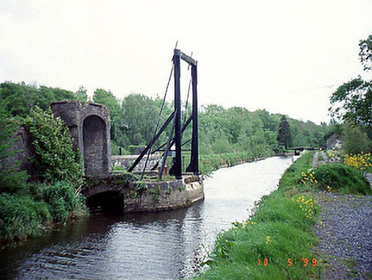 bridgebridge · 1317 yd
 Enclosure in PowerstownEnclosure · 1464 yd
 Enclosure in ClonmelshEnclosure · 1555 yd
 Graveyard in Tomard Lower (3 Detached Portions)Graveyard · 1.1 mi
 Graveyard in ClonmelshGraveyard · 1.2 mi
 Common LimeCommon Lime · 1.9 mi
 Black Castle (in ruins)Castle, tower house · 2.5 mi
 Clogrenan CastleCastle, tower house · 2.8 mi
 Gallows HillMountain / peak · 3.9 mi
 Sweet ChestnutSweet Chestnut · 3.9 mi
 The Columban WayVisitor information · 4.6 mi