What is recorded here
Discovered prior to road construction (Excavation Licence No. 97E0475 ext.). A sub-rectangular shaped pit (2.7m x 0.85m; D 0.5m) which contained two distinct fills, the lower one consisted of a dark brown silty clay with frequent charcoal and burnt stone inclusions while the upper fill was sandy and contained frequent large stones. There were no finds. (Ó Drisceoil 2000, 189)
Compiled by: Claire Breen
Date of upload: 11 July 2012
The monument record does not grant public access. Check the route and ask the landowner before entering private land.
- What survives
- Recorded monument
Places near here
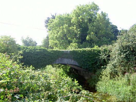 Dromgoolestown Bridgebridge · 448 yd
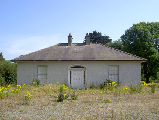 White Millsmiller's house · 522 yd
 Enclosure in CharlevilleEnclosure · 1132 yd
 Enclosure in Richardstown (ardee By., Richardstown Par.)Enclosure · 1304 yd
 CastleCastle, motte · 1.0 mi
 Graveyard in Richardstown (ardee By., Richardstown Par.)Graveyard · 1.2 mi
 Monterey CypressMonterey Cypress · 1.2 mi
 Rocjardstown CastleCastle, tower house · 1.2 mi
 Rathescar Lakeside WalkWood · 2.5 mi
 Graveyard in StickillinGraveyard · 3.0 mi
 Drummeenagh HillMountain / peak · 3.5 mi
 Tullydonnell HillMountain / peak · 3.7 mi