What is recorded here
Castlekeeran 2 lies in gently undulating County Meath, where a narrow canalised stream marks the eastern edge. Local memory pointed to burials, but excavation revealed a winding ditch and scattered pits holding black-glazed pots, metal slag and cremated bone. The clash between remembered death and measured fact still hums beneath the grass.
Situated in a gently undulating landscape with a small canalised S-N stream just to the E. Archaeological testing (04E1056) by G. McLoughlin (2005, 3) at Test Area 5 of Contract 5 of the M3 identified archaeological features (excavations.ie 2004:1200) that were in the general area where it was thought locally that there were burials. The features were fully excavated (E003177) by S. Reilly in April 2007 (excavations.ie 2007:1277) as Castlekeeran 2. A ditch (Wth of top 1.6m; D 0.52m) extended SW-NE (L 7m), turned E (L 3.5m) and petered out. Eleven pits (diam. 0.23m; D 0.07m to diam. 0.96m; D 0.16m) were also excavated, most of which were modern as they were cut into the backfill of nineteenth century quarrying. The pits were filled with silts and sands and produced black-glazed earthenware indicating a post-medieval date, but pieces of metal slag but some concentrations of cremated bone were also recovered.
Compiled by: Michael Moore
Date of upload: 4 March 2022
The monument record does not grant public access. Check the route and ask the landowner before entering private land.
- What survives
- Recorded monument
Places near here
 HawthornHawthorn · 275 yd
 Grave YardGraveyard · 641 yd
 ChapelChurch · 653 yd
 CrossCross, High cross · 658 yd
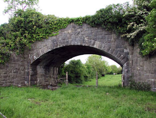 Jack's Bridgebridge · 1085 yd
 Woodpole Fox CovertWood · 1.4 mi
 MoatCastle, motte and bailey · 1.9 mi
 The Kieran Flanagan WayMemorial · 2.2 mi
 Balgree MoteCastle, motte · 2.2 mi
 Great Famine ProjectMemorial · 2.2 mi
 MaperathMountain / peak · 2.3 mi
 MountainpoleMountain / peak · 2.5 mi