What is recorded here
On a level landscape close to the W shore of Lough Ree. A rectangular stoney pit (dims. c. 2m N-S; c. 1m E-W plus) was partly exposed in test excavations for a roadway into a housing estate. It produced medieval floor tiles and animal bone and is preserved beside the roadway. (O'Carroll 2006)
Compiled by: Michael Moore
Date of upload: 24 August 2010
O’Carroll, E. 2006 Carrowmurragh: medieval. in I. Bennett Excavations 2003. Summary accounts of archaeological excavations in Ireland, 419, No.1554. Bray.
The monument record does not grant public access. Check the route and ask the landowner before entering private land.
- What survives
- Recorded monument
Places near here
 Newpark Housecountry house · 241 yd
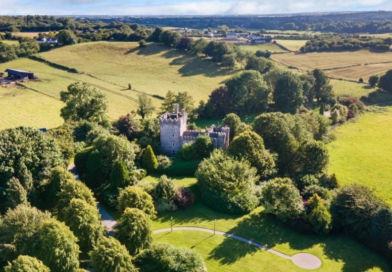 IndicatedFairy fort / earthen ringfort · 681 yd
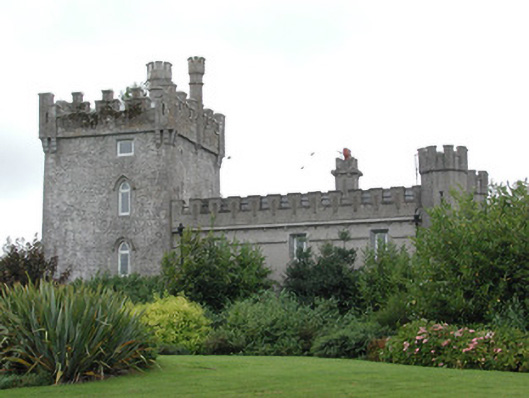 Moyvannan Castlecountry house · 1057 yd
 Carnagh BayBay · 1434 yd
 Long IslandIslet · 1553 yd
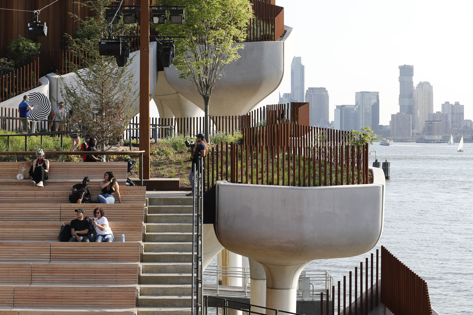 Little IslandIslet · 1654 yd
 St Patricks WellHoly well · 1664 yd
 Bally BayBay · 1.2 mi
 Curraghboy CastleCastle, unclassified · 3.4 mi
 RindoonWood · 3.7 mi
 Rindown CastleCastle, Anglo-Norman masonry castle · 3.9 mi
 Siege of Athlonesiege · 4.5 mi