What is recorded here
During archaeological monitoring of topsoil in advance of the construction of the N22 Ballincollig Bypass, a shallow circular pit (0.68m x 0.66m; D 0.11m) was discovered. The pit was disturbed during topsoil stripping, disturbing much of its contents. It contained a dark charcoal-stained fill and 65 sherds of pottery, which represents two Beaker vessels from the Late Neolithic/Early Bronze Age. A radiocarbon date of 2600-2300 BC was obtained from charcoal in the pit. (Danaher 2004f, 64; 2005b)
The above description is derived from 'The Archaeological Inventory of County Cork. Volume 5' (Dublin: Stationery Office, 2009).
Date of upload: 22 December 2009
The monument record does not grant public access. Check the route and ask the landowner before entering private land.
- What survives
- Recorded monument
Places near here
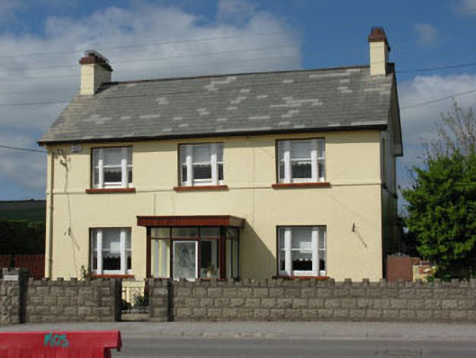 Ard na Laoihouse · 578 yd
 Corn Mill (in Ruins)Mill, corn · 747 yd
 Grave YardGraveyard · 921 yd
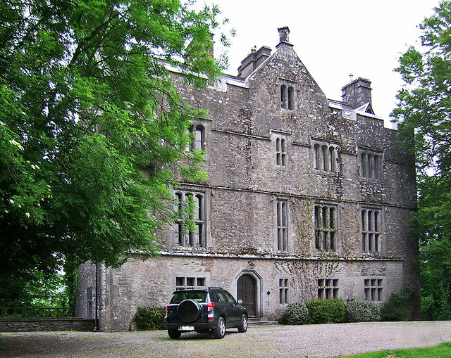 Carrigrohane Castle (in Ruins)Castle, Anglo-Norman masonry castle · 937 yd
 Stone BeachBeach / strand · 941 yd
 Grave YdGraveyard · 976 yd
 Patrick BurnsMemorial · 1276 yd
 Conor LuceyMemorial · 1.4 mi
 Cave in Ballincollig (muskerry East By., Carrigrohane Par.)Cave · 1.5 mi
 Murphy's FarmHeritage attraction · 1.5 mi
 Ballincollig Castle (in Ruins)Castle, tower house · 1.5 mi
 Sunday WellSpring · 1.6 mi