What is recorded here
Following archaeological test-trenching in advance of a multi-phase housing development at Carrigaline Middle, a small area of scorched reddish-orange soil was discovered. There were areas of dark charcoal-rich material with inclusions of burnt bone and heat-shattered sub-angular stones, possibly indicative of a burnt mound, immediately to the N and S. (Sherlock 2002)
The above description is derived from 'The Archaeological Inventory of County Cork. Volume 5' (Dublin: Stationery Office, 2009).
Date of upload: 22 December 2009
The monument record does not grant public access. Check the route and ask the landowner before entering private land.
- What survives
- Recorded monument
Places near here
 Pit-burial in Carrigaline MiddlePit-burial · 28 yd
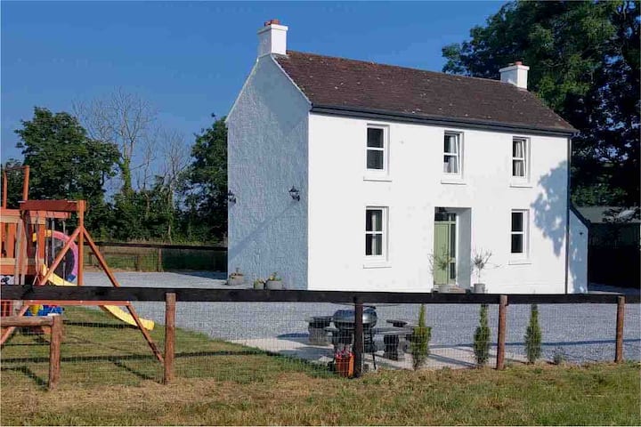 Enclosure in Carrigaline MiddleEnclosure · 46 yd
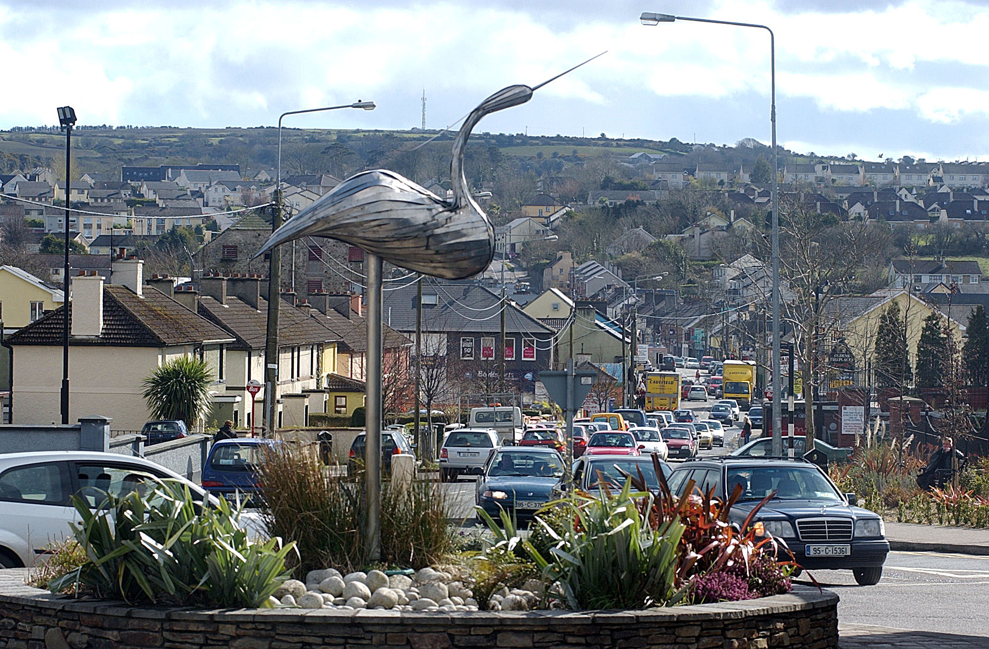 IndicatedKiln, lime · 408 yd
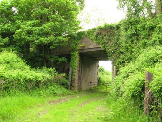 Ballyhemiken Bridgebridge · 547 yd
 Cogan's CastleCastle · 1664 yd
 Ballea CastleCastle, tower house · 1.5 mi
 Pauper's GraveyardArchaeological place · 2.1 mi
 Be Framed Fine Art GalleryGallery · 4.2 mi
 Graveyard in CurraghconwayGraveyard · 4.2 mi
 Goat IslandIslet · 4.3 mi
 Vernon Mount ViewViewpoint · 4.7 mi
 City View SummitViewpoint · 4.7 mi