What is recorded here
Yes. Half a league further east, a golf course was cutting through soil that had kept its shape since the Neolithic. Men in hard hats stood beside holes dug by hands so old they had no name, and for a moment the course stopped being a course. It became a room where the dead had set furniture. The machines went quiet. Not from orders, but from surprise.
A number of prehistoric pits and postholes were exposed immediately to the E of 'Round O Rath' (CW006-001----) during the development of a golf-course in 2006 (Excavation Licence number 06E0499). These features were preserved in situ. (McLoughlin C. 2009, 43). Monitoring in 2007 exposed further pits and post-holes which were excavated. Initial analysis of these suggested they were of Late Neolithic/Early Bronze Age date. (McLoughlin C. 2010, 21)
Reference:
McLoughlin, C. (2010),Carrickduff Prehistoric. In I. Bennett (ed.), Excavations 2007: summary accounts of archaeological excavations in Ireland, 21 (101). Bray. Wordwell
Compiled by: Claire Breen
Date of upload: 10 November 2010
The monument record does not grant public access. Check the route and ask the landowner before entering private land.
- What survives
- Recorded monument
Places near here
 Round O RathEnclosure · 69 yd
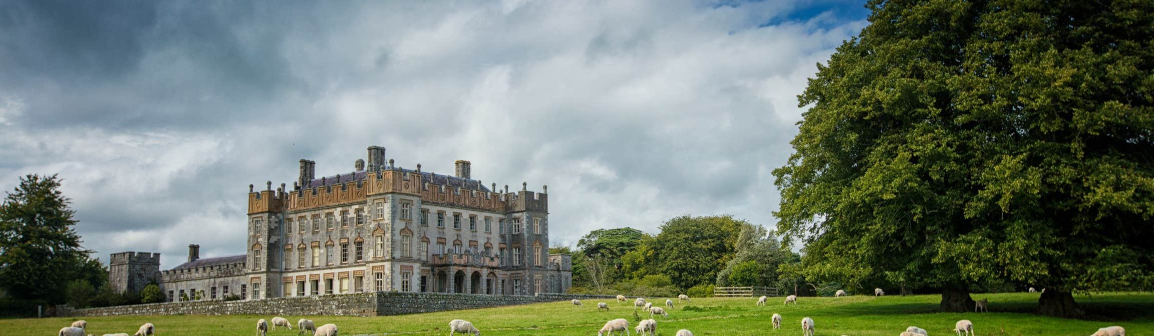
 Newtownbarry Housegate lodge · 740 yd
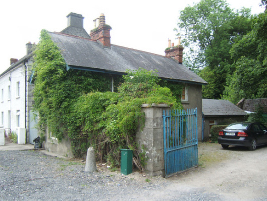
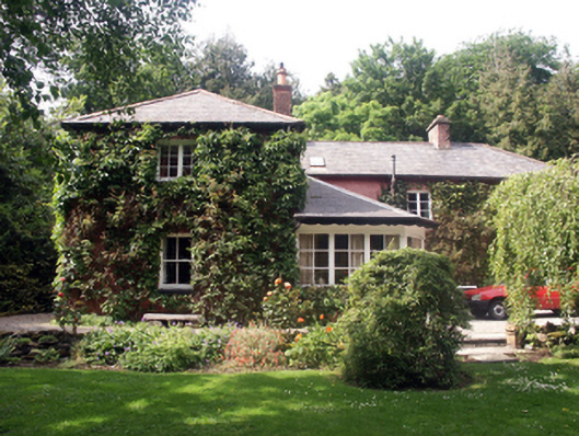 Slaney Cottagehouse · 795 yd
 1798 rebellion Battle of Newtownbarry (AKA Bunclody) commemorative plaqueMemorial · 836 yd
 Common LimeCommon Lime · 841 yd
 Bunclody 1798 Bicentenary MemorialMemorial · 868 yd
 Carrickduff WoodWood · 1652 yd
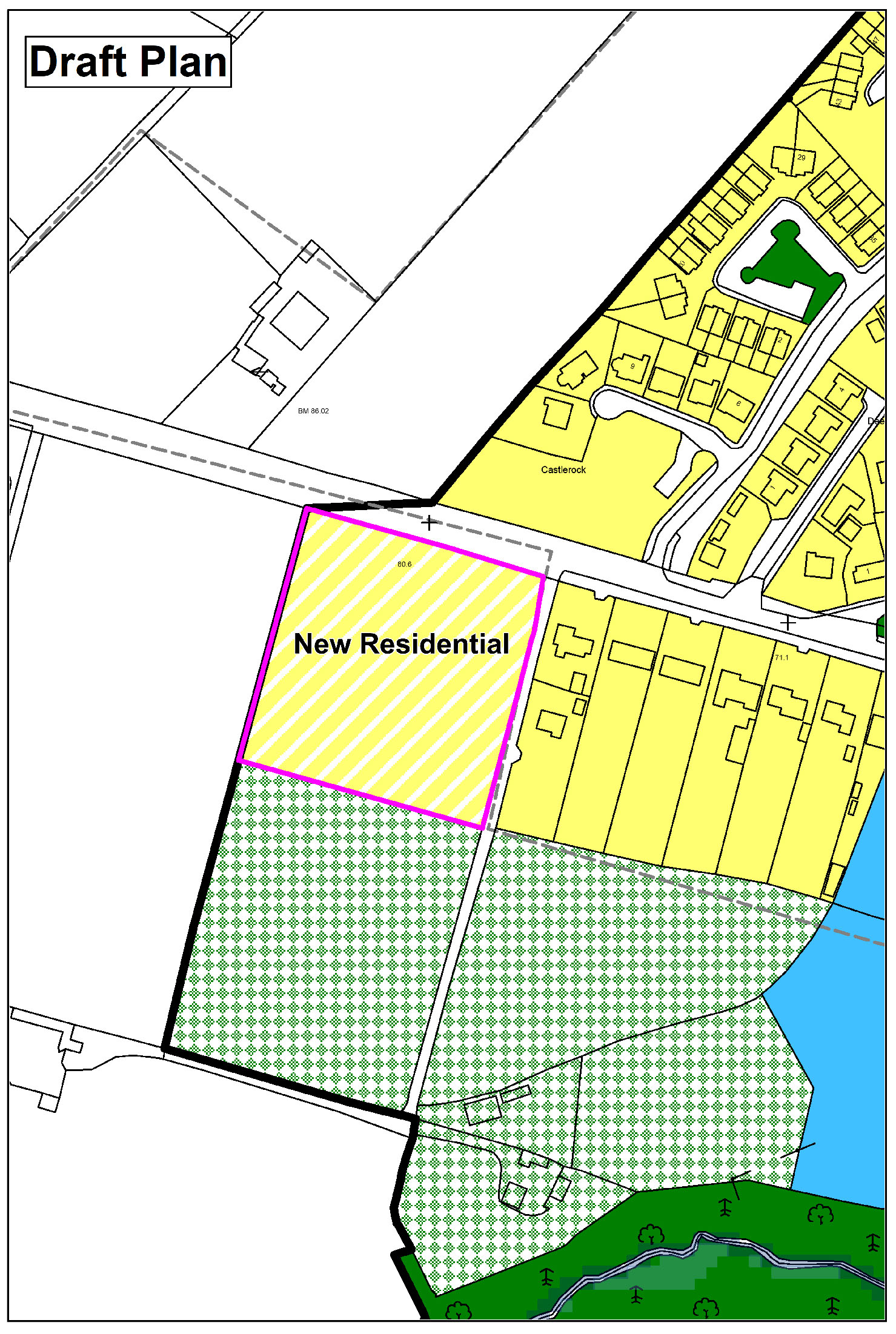 Enclosure in CarrickduffEnclosure · 1.1 mi
 Barragh Church (in ruins), GraveyardChurch · 1.4 mi
 Site of Clonmullen CastleCastle, unclassified · 1.6 mi
 Huntington Castle & GardensHeritage attraction · 2.0 mi
 Ryland Castle (in ruins)Castle, unclassified · 2.1 mi