What is recorded here
Situated on a W-facing slope with a S-N stream c. 125m to the W. Identified in centre-line testing (05E0763) of the alternate route of the N25 Waterford city bypass (Russell 2008b), and excavated completely (E3440) as Butlerstown North 2 during 2007. This is a concentrated area with three pits and a hearth with associated stake-holes. Finds of pottery, flint and chert were recovered, and a small flint arrowhead was found in the topsoil. (Lennon 2010b; O'Hara and Ginn 2011c)
Russell, I. (2008b) Various townlands. in I. Bennett (Ed.) Excavations 2005: summary accounts of excavations in Ireland, 361, No. 1481. Wordwell. Dublin.
Lennon, A-M. (2010b) Butlerstown North 2. Prehistoric activity. in I. Bennett (Ed.) Excavations 2007: summary accounts of excavations in Ireland, 512, No. 1808. Wordwell. Dublin.
O’Hara, R. and V. Ginn (2011c) Butlerstown North 2, Co. Waterford. in J. Eogan and E. Shee-Twohig (2011) Cois tSiúire – nine thousand years of human activity in the lower Suir valley. Archaeological excavations on the N25 Waterford city bypass, vol. 1, 52-3. NRA road scheme: Monograph 8, Dublin
Compiled by: Michael Moore
Date of upload: 27 January 2011
The monument record does not grant public access. Check the route and ask the landowner before entering private land.
- What survives
- Recorded monument
Places near here
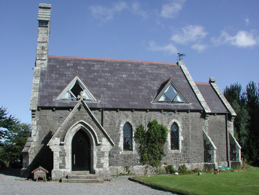 Killoteran Churchchurch/chapel · 449 yd
 Killoteran Housegate lodge · 502 yd
 Fulacht fia in Bawnfune (gaultiere By., Lisnakill Par.)Fulacht fia · 651 yd
 Enclosure in Woodstown (middlethird By., Killoteran Par.)Enclosure · 677 yd
 Native Irish Tree TrailWood · 1463 yd
 Mount Congreve GardensHeritage attraction · 1.1 mi
 Monterey CypressMonterey Cypress · 1.4 mi
 Corluddy Castle (in Ruins)Castle, tower house · 1.7 mi
 CastleCastle, unclassified · 1.8 mi
 Sugar Loaf RockMountain / peak · 2.3 mi
 Waterford & Suir Valley RailwayHeritage attraction · 2.5 mi
 Ballyscanlon HillMountain / peak · 5.4 mi