What is recorded here
Situated on the E-facing slope of a rise in a fairly level landscape. Centre-line testing (04E0488) by R. O’Hara on the Dunboyne link road (R157) to the M3 (excavations.ie 2004:1183) identified archaeological features that were fully excavated (E003027) by R. Elliott in February and March 2006 as Bennetstown 3 (excavations.ie 2006:1509). A group of eight post-holes (diam. 0.2-0.6m; D 0.2-0.66m) from which most of the posts had been removed rather than being burnt or left to rot form a rough rectangular structure (max. int. dims 4.3m NE-SW; 2.6m NW-SE) that might have been open (Wth c. 1.1m) on the NW side. Two small pits (dims 0.67m x 0.32m; D 0.16m: diam. 0.37-0.39m; D 0.13m) were just to the W and two patches of burnt clay (dims 1.2m x 0.7m; T 0.1m: 0.63m x 0.24m; T 0.07m) 11m to the NW may be the remains of hearths. There were four other pits (dims 0.69m x 0.41m; D 0.3m to 1.15m x 1.04m; D 0.17m) c. 20m to the W, some with charcoal and burnt bone inclusions, and a curving trench (dims 2m x 0.5m; D 0.09m) could represent a slot-trench for a hut-site but there is no further evidence of it. A charcoal sample from its fill produced a C14 date of 1490-1310 cal. BC, which accords well with a sherd of coarse pottery from the same context. (Elliott and Ginn 2008)
Compiled by: Michael Moore
Date of upload: 3 November 2021
The monument record does not grant public access. Check the route and ask the landowner before entering private land.
- What survives
- Recorded monument
Places near here
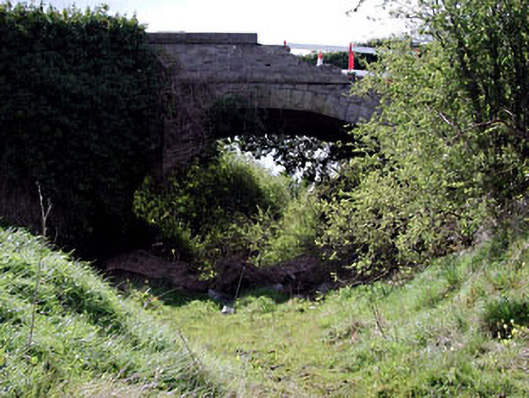 bridgebridge · 578 yd
 Enclosure in Piercetown (dunboyne By.)Enclosure · 1395 yd
 Catholic Church of Saint Peter and Saint Paulchurch/chapel · 1.1 mi
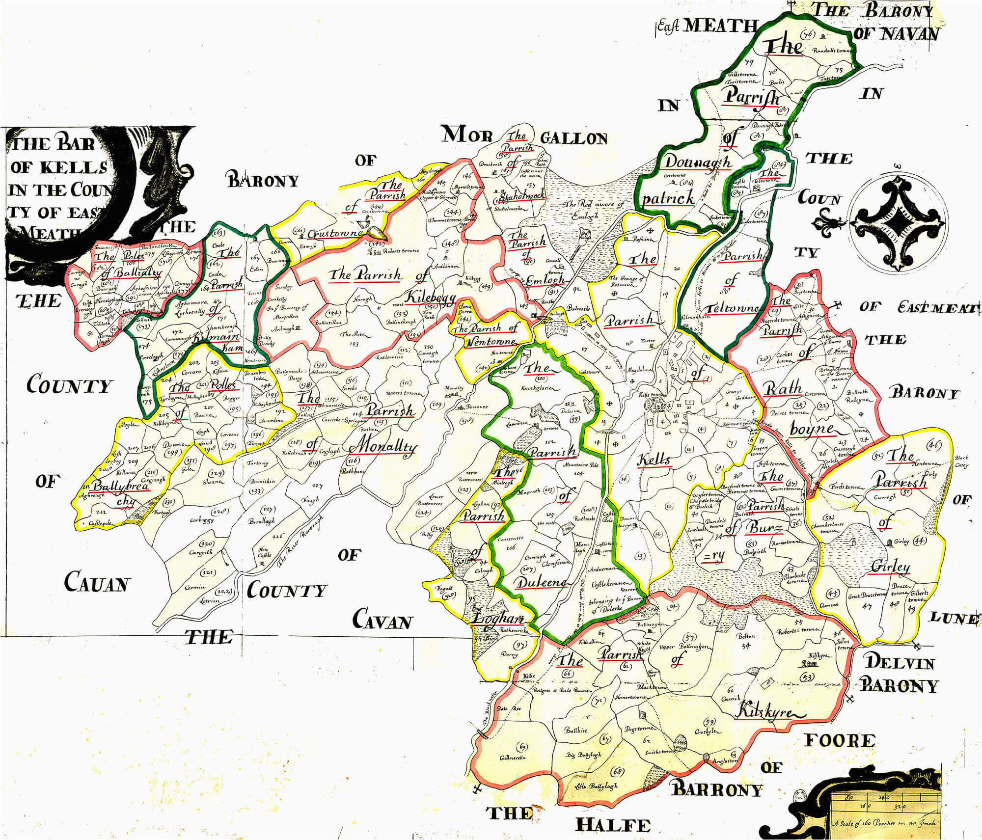 Font in DunboyneFont · 1.2 mi
 Caulstown Christmas Tree FarmForest · 1.7 mi
 CastleCastle, motte · 2.1 mi
 Site of Old CastleCastle, unclassified · 2.2 mi
 Hanwood GardensHeritage attraction · 2.4 mi
 Wesley's WoodsWood · 2.8 mi
 Ash HillMountain / peak · 2.9 mi
 Lismahon 1798 MemorialMonument · 3.6 mi
 Graveyard in BuzzardstownGraveyard · 3.8 mi