
What is recorded here
Barnageeragh in County Dublin is a phantom landscape where Bronze Age postholes, a ringfort and buried chambers vanished beneath modern development. Men and women likely heated water on burnt stones, raised timber roofs around central fires and stored grain in dark souterrains before roads and houses erased their markers. The ground no longer displays a single stone, yet it still holds the shape of hands that built there.
This monument was excavated (Licence no. 04E0185) in advance of development. Characterised by a series of pits from which medieval pottery was recovered, the site was truncated by post-medieval activity including a curvilinear ditch from which a sherd of 17th century Frechen ware was recovered (Lohan 2002, 19).
Compiled by: Christine Baker
Date of upload: 5 February 2015
The monument record does not grant public access. Check the route and ask the landowner before entering private land.
- What survives
- Recorded monument
Places near here
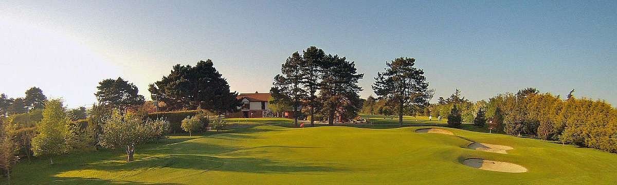 Enclosure in BeaverstownEnclosure · 133 yd
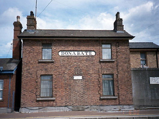 Donabate Railway Stationstation master's house · 178 yd
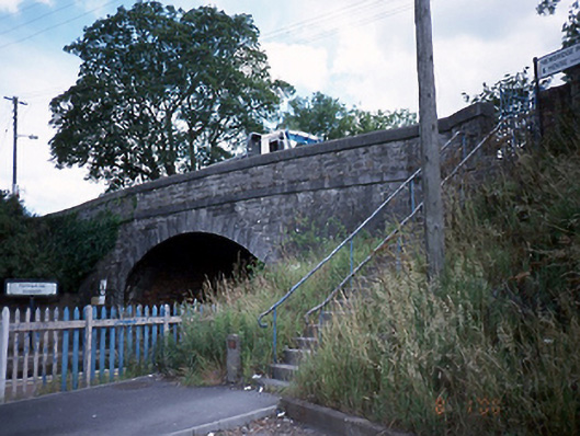 bridgebridge · 201 yd
 The Red HouseMemorial · 229 yd
 Structure in DonabateStructure · 236 yd
 Old Post OfficeMemorial · 253 yd
 TowerCastle, tower house · 262 yd
 Newbridge House and DemesneHeritage attraction · 1166 yd
 Tourist InformationVisitor information · 1323 yd
 The Birds of Rogerstown EstuaryVisitor information · 1740 yd
 Turvey HouseCastle, tower house · 1.0 mi
 Turvey Allotments and Nature ReserveNature reserve · 1.1 mi
Other information
Photo: Credit not shown in the picture search · Rights wording not checked; contact us if this picture should be removed