What is recorded here
Identified in centre-line testing (E4110) in advance of the M11 Gorey to Enniscorthy road scheme and set aside for resolution as Ballycarrigeen Lower 5 (Hardy et al. 2010, 59-60). It is situated at the bottom of a NW-facing slope with a small NE-SW stream c. 60m to the NW as it begins to turn W. It was completely excavated (E4227) by M. McNamara as a group of four large pits (dims 1.6m x 0.54-1.02m; D 0.3m to 3.4m x 1.2-1.6m; d 0.4m) in a concentrated area (dims c. 10m x c. 10m) with some smaller features. The fills were largely silty clays and the only artefacts were nine sherds of prehistoric pottery and four flints from the topsoil or secondary fills of the pits. One pit produced six sherds of post-medieval glazed red earthenware from a secondary fill. (McNamara 2012; 2013)
Compiled by: Michael Moore
Date of upload: 26 November, 2013
The monument record does not grant public access. Check the route and ask the landowner before entering private land.
- What survives
- Recorded monument
Places near here
 Fulacht fia in Ballycarrigeen LowerFulacht fia · 524 yd
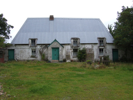 farm housefarm house · 859 yd
 Fulacht fia in MountgeorgeFulacht fia · 892 yd
 KilnKiln, corn-drying · 1671 yd
 The GroveWood · 1.3 mi
 The CoilWood · 1.3 mi
 IndicatedCastle, ringwork · 1.9 mi
 Giants BedNamed rock · 2.1 mi
 Father Murphy CentreHeritage attraction · 2.1 mi
 Carrigroe HillMountain / peak · 2.6 mi
 Ferns Castle (in ruins)Castle, Anglo-Norman masonry castle · 2.7 mi
 Milshoge RockMountain / peak · 3.1 mi