What is recorded here
Excavation: Ballinalee, County Longford. In 2007, a test pit dug for an amenity centre uncovered eight vague holes, a possible building trench and a wall foundation. The excavator dated them post-medieval, perhaps belonging to the 17th-century village. The holes never revealed their purpose, leaving behind a small ghost of forgotten hands.
An archaeological test excavation undertaken in 2007, in advance of a planning application for an amenity centre in the village of Ballinalee, revealed eight poorly defined pits of unknown function. The possible foundation trench of a structure and the foundations of a wall were also uncovered. The excavator interpreted these features as being post-medieval in date and possibly associated with the 17th-century settlement (see LF009-023----) of the village (Egan 2010, 303).
Compiled by: Patrick F. O'Donovan
Date of upload: 25 February 2013
The monument record does not grant public access. Check the route and ask the landowner before entering private land.
- What survives
- Recorded monument
Places near here
 Bully's Acregraveyard/cemetery, unknown · 21 yd
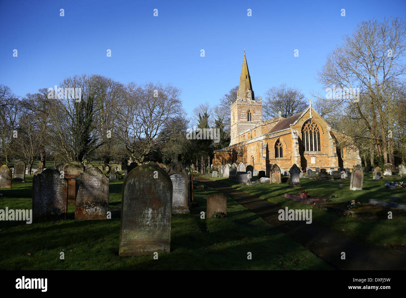 Grave YardBurial ground · 46 yd
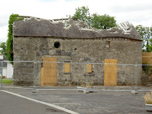 Ballinalee Masonic Hallmasonic lodge/hall · 61 yd
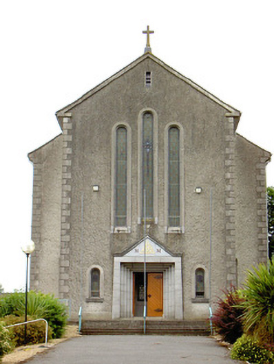 Catholic Church of the Holy Trinitychurch/chapel · 81 yd
 Cultivation ridges in Ballinalee OR SaintjohnstownCultivation ridges · 434 yd
 Bawn in CurrycahillBawn · 474 yd
 Ballinalee Forest WalkForest · 651 yd
 Cloonfin WoodForest · 2.6 mi
 Clonfin Ambush MemorialMemorial · 3.2 mi
 Moat & CastleCastle, motte and bailey · 3.4 mi
 InchmoreIslet · 4.9 mi
 Granard MotteMotte-and-bailey castle remains · 6.4 mi