What is recorded here
Miscellaneous features, surrounding fulacht fia (LI012-137----), excavated prior to the Adare to Annacotty N20/N21 Road Improvement Scheme (Gahan 1998). Excavated under licence no. 97E0092ext. the results were summarised as following; ‘The area surrounding the burnt mound, along the line of the road, was mechanically stripped of topsoil to investigate whether there were any associated structures. A random scatter of post-holes or small pits was uncovered, which did not appear to form any structure or pattern. It is most likely that they belong to the phase of activity of the burnt mound’ (www.excavations.ie 1998; 380).
Miscellaneous features, surrounding fulacht fia (LI012-137----), excavated prior to the Adare to Annacotty N20/N21 Road Improvement Scheme (Gahan 1998). Excavated under licence no. 97E0092ext. the results were summarised as following; ‘The area surrounding the burnt mound, along the line of the road, was mechanically stripped of topsoil to investigate whether there were any associated structures. A random scatter…
From the National Monuments Service (Archaeological Survey of Ireland) record LI012-139
The monument record does not grant public access. Check the route and ask the landowner before entering private land.
- What survives
- Recorded monument
Places near here
Photo credits
- National Inventory of Architectural Heritage
- Mike Searle, Wikimedia Commons · CC BY-SA 2.0
- Stevesphotography, Wikimedia Commons · CC BY-SA 4.0
- SteveODowd, Wikimedia Commons · CC BY-SA 4.0
- Hywel Williams, Geograph · CC BY-SA 2.0
- Jon Sullivan, Wikimedia Commons · Public domain
- Joseph Mischyshyn, Geograph · Creative Commons Attribution-ShareAlike 2.0
- Miguel Angel Masegosa Martínez, Wikimedia Commons · CC BY 2.0
- Colin Park, Geograph · CC BY-SA 2.0
- Greg and Cindy, Wikimedia Commons · CC BY 2.0
 Fort EtnaCountry house · 319 yd
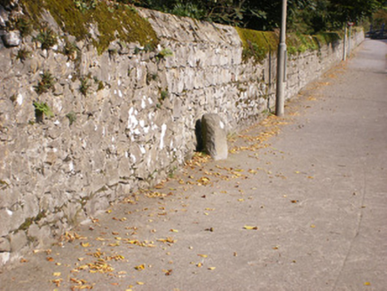 milestone/milepost519 yd
_-_geograph.org.uk_-_6276354.jpg/250px-Castles_of_Munster,_Fanningstown,_Limerick_(1)_-_geograph.org.uk_-_6276354.jpg "Photo: Mike Searle, Wikimedia Commons · CC BY-SA 2.0") Fanningstown Castle (in ruins)Castle, tower house · 3.3 mi
Fanningstown Castle (in ruins)Castle, tower house · 3.3 mi Carrigogunnell CastleRuins · 4.0 mi
 Dysert AenghusaHeritage attraction · 5.1 mi
 Limerick Seamen's MemorialMemorial · 5.8 mi
 Cratloe WoodsForest · 7.8 mi
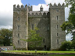 Bunratty CastleCastle/fortified house · 8.4 mi
 Graveyard8.4 mi
 Sweet Chestnut8.7 mi
 KnockfeerinaMountain / peak · 9.1 mi
 Pan Am Flight 1-10Aviation accident · 12 mi
More archaeology and monuments in County Limerick · All of County Limerick
What do you know about this place?