What is recorded here
Identified in centre-line testing (E4110) in advance of the M11 Gorey to Enniscorthy road scheme, and set aside for resolution as Askunshin 2 (Hardy et al. 2010, 120-1). It is located on a slight N-facing slope in a slight col between a low hill c. 900m to the NW and a slight rise c. 400m to the SW. It was fully excavated (E4222) by Y. Whitty when two oval pits (dims 1.12m x 0.62m; D 0.62m: 1.1m x 0.7m; D 0.17m) 0.7m apart were uncovered. A smaller pit (diam. 0.35-0.4m) was just to the E of the second pit and contained three inverted and broken prehistoric pots that were block-lifted for conservation, the results which are not yet available. The hearth and pits (WX019-036----) are c. 100m to the NE, although they may be wholly unrelated, and the pit-burial (WX019-034----), c. 260m to the SW may be more relevant. (Hull and Hardy 2012; Whitty 2013)
Compiled by: Michael Moore
Date of upload: 28 November, 2013
The monument record does not grant public access. Check the route and ask the landowner before entering private land.
- What survives
- Recorded monument
Places near here
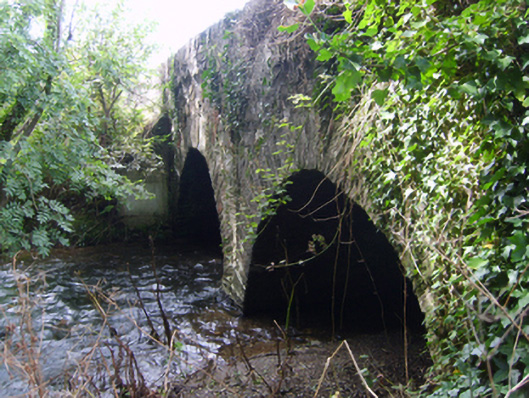 Monart Bridgebridge · 1043 yd
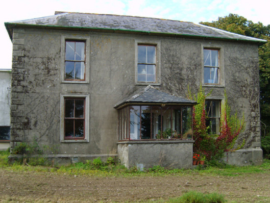 Hollyfort Housefarm house · 1144 yd
 Fulacht fia in Monart EastFulacht fia · 1155 yd
 Fulacht fia in BallyorrillFulacht fia · 1329 yd
 Daphney CastleCastle, unclassified · 1.6 mi
 Bernard Dunne Memorial BenchMemorial · 1.8 mi
 Le Tour De France en EnniscorthyMemorial · 1.9 mi
 Battle of Vinegar HillMajor battlefield · 2.0 mi
 National 1798 CentreMuseum · 2.3 mi
 CastleCastle, ringwork · 3.6 mi
 Pedunculate OakPedunculate Oak · 3.7 mi
 European LarchEuropean Larch · 6.5 mi