Places near here
Photo credits
- Maker not stated on source page, commons.wikimedia.org
- Martyn Boyd, Wikimedia Commons · CC BY-SA 2.0
- Maker not stated on source page, www.flickr.com
- Albert Bridge, Wikimedia Commons · CC BY-SA 2.0
- Golfing in Ireland; photographer not stated, Source publisher
- Albert Bridge, Geograph · CC BY-SA 2.0
- Maker not stated on source page, nl.pinterest.com
- Rossographer, Geograph · CC BY-SA 2.0
- thejackrustles, Geograph · CC BY-SA 2.0
- Maker not stated on source page, www.pinterest.com
 Old boundary stone792 yd
Explorer Tom Old boundary stone in County Down claims the seagulls use it as a gossip hub every morning. It’s just sitting there…
 Grey Point FortVisitor attraction · 916 yd
Explorer Tom Grey Point Fort had a massive feud with the next village over whether their flag was flying at the correct angle. It’s…
 Church & holy well in BallygrotChurch & Holy Well · 1624 yd
Explorer Tom Church & holy well in Ballygrot is an ancient setup where the period is 'uncertain', which just means nobody could be…
 Helen's Bay Presbyterian ChurchChurch · 1.1 mi
Explorer Tom Helen's Bay Presbyterian Church in Ballygrot is basically a fortress against zombies because nobody wants to walk into…
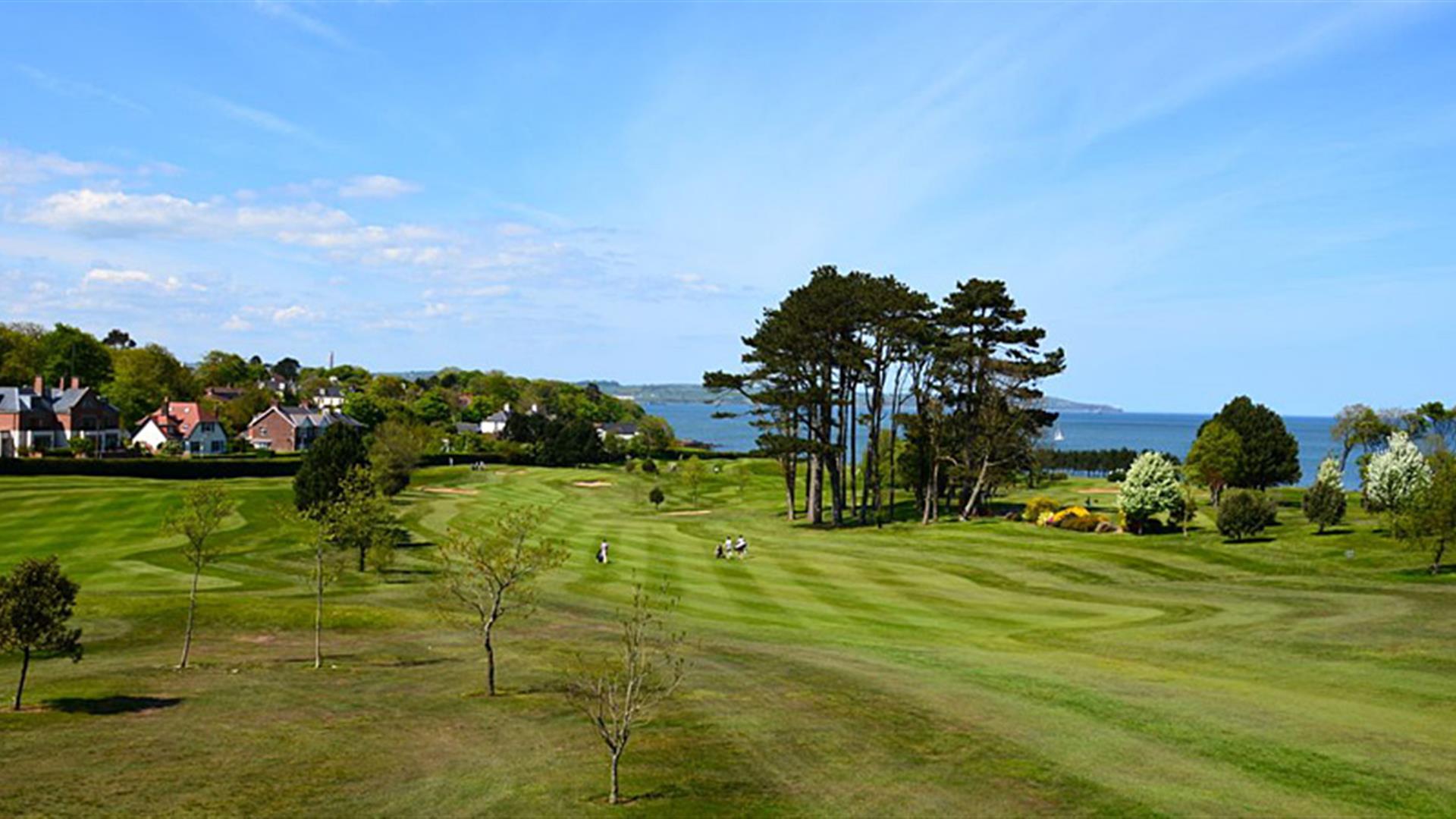 Helen’s Bay Golf ClubGolf course · 1.1 mi
 Crawfordsburn Country ParkWood · 1.5 mi
Explorer Tom Crawfordsburn Country Park runs from wooded glens to two beaches on Belfast Lough, with a waterfall waiting inland to…
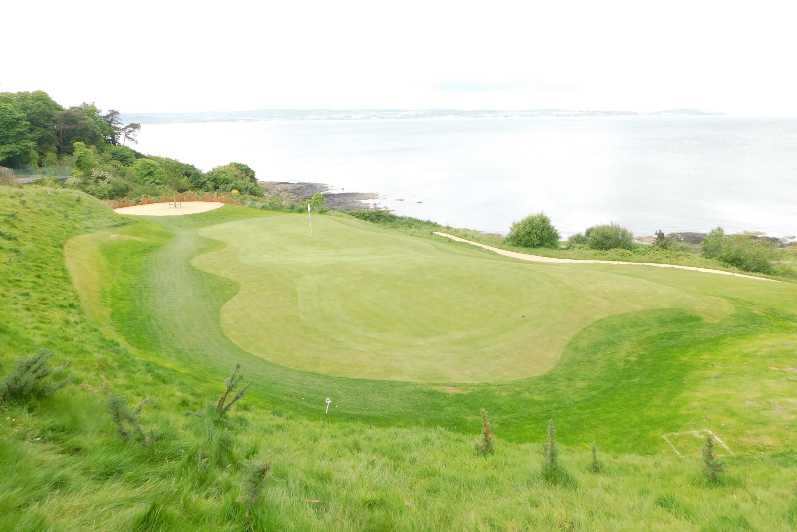 Carnalea Golf ClubGolf course · 2.1 mi
 Holy well in CraigavadHoly Well · 2.1 mi
Explorer Tom Holy well in Craigavad is sick of hearing 'is it still holy?' every time someone passes by. It’s been dodging that…
 North Down Coastal PathWalking route · 2.2 mi
Explorer Tom North Down Coastal Path in County Down has a legend about a fiddler who played so badly that the sea froze over for an…
 Creighton's Green WoodWood · 3.9 mi
Explorer Tom Creighton's Green Wood would be the guy at the wedding who stands by the cake looking confused about why he has no…
 CairngaverMountain / peak · 4.6 mi
Explorer Tom Cairngaver has an imaginary twin across the sea who sends it postcards every year saying it looks better than it ever…
 Castle LugArchaeological place · 5.0 mi
Explorer Tom Castle Lug in County Antrim refuses to fall down because it thinks it looks better standing up than lying flat. It’s…
More wrecks and historic events in County Down · All of County Down

What do you know about this place?Tap to add a comment or ask a question